24-Feb – Thoughts on NZ

We’ve been in New Zealand for almost 3 months now and I feel it’s time to post a few observations, random thoughts and comments about New Zealand and it’s people.

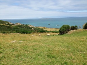
  1. There are a lot of sheep here.
  2. This is a beautiful country. It has some amazing landscapes, animal and floral life and all of it is packed onto a very small island. Radically different ecosystems are within just miles of each other. You can drive from an arid, dry landscape like Grand Junction that gets just a few inches of rain a year to a tropical environment that gets about 20 feet a year, within a couple of hours. It’s quite amazing.
  3. The people are very friendly. When they hear that we’re here for 6 months they get very excited and say “Good on ya, mate.” Which means “Well done. You’re doing it the right way.” They will then tell you what you MUST see in their particular region. “Don’t miss the dam down the road a piece. It’s the largest earthen dam on the south island and it’s where I’m from.” They’re very proud of their country and want to share it.
  4. They never discovered window screens. We’ve been here almost 3 months now and I’ve yet to see a screen on a window or door. So you’re watching the telly (TV) on a warm night and have a few windows open.  There will be as many bugs inside the house as there are outside.
  5. Their light switches are backwards. We throw the switch up to turn on a light, they throw it down. The same is true of deadbolts lock and latches.  They turn the wrong way.
  6. All of the electrical outlets have an associated switch right next to them. It’s backwards of course, and cuts the power to the outlet. So what’s with that?
  7. There are clean public toilets everywhere. Very nice.
  8. This is a country that’s been discovered. Admittedly we are currently in the height of the tourist season but there are tourists EVERYWHERE, which includes us, of course. There are tour buses, rental cars, and backpackers everywhere.
  9. Two thirds of the people in New Zealand are not true Kiwi’s. And yes, they do call themselves Kiwi’s. When you go to the grocery store, you will see faces and hear languages from all over the world. Very cool.
  10. They do not know how to spell “tire”, “color”, “harbor” or “center”. Come on people, it’s NOT “tyre”, “colour”, “harbour” and “centre”. Let’s get with it.
  11. When you check into a hotel, cottage or any rental unit you are given a small bottle of milk for your morning coffee or tea. Nice.
  12. The first letter “e” in a word is pronounced as if it were long, no matter what the English grammatical rule. For example your back “deck” is pronounces, “deeck” not “deck”.
  13. We bought a used Subaru for our travels here and discovered that it’s pronounced “Soo-bar-roo” with the emphasis on the middle (bar) syllable. Try it.
  14. There are NO public trash cans. Even gas stations don’t have them. What the hell am I to do with my trash?
  15. They don’t know about liability releases. We’ve rented bikes, taken surfing lessons, paddled kayaks around a fyord, I was even allowed to dive off of the 20 foot high helipad of our tour boat, all without ever signing anything. Now THAT is cool!!!

Driving needs its own section.

  1. First off, they drive on the wrong side of the road.
  2. There are rotaries or “round-abouts” as they call them, everywhere. The rule is that if you’re “in” the rotary you have the right of way and cars entering will yield and not enter.  A bit scary at first but once you get used to it, they work quite well.
  3. I would say that 90% of all bridges are only one lane wide. As you approach one of these bridges you need to slow to see if anyone is coming across. If there is, you of course wait, then take your turn across. These work surprisingly well too. People are quite courteous.  But what’s with the highway department. Not enough cement for two lanes?
  4. The roads here are very narrow and are all just two lanes wide, except for in the large cities. Clearly, some time back the highway department measured the width of a car, a small car, then added a couple feet,  doubled it, for the two lanes and that became the width of their roads. As for a shoulder, forget it, the blacktop just ends.  They do sometimes paint a white line along the edge, if you’re lucky but beyond that, it’s grass, gravel, rocks, trees, whatever. There is usually a white dotted line painted down the middle of the road which does help, but passing oncoming vehicles can be quite scary. You feel as if you’re going to lose your drivers side mirror.  And hang onto your butt when you pass a semi truck or tour bus.
  5. In the mountains where the landscape sometimes prevents them from constructing their usual narrow road they simply make the road as wide as the landscape permits.  Then remove the center white dotted line and post a sign which basically says “Narrow road.  You’re on your own.” So you find yourself on a very narrow, curvy mountain road with a rock wall on one side, a cliff on the other, no white center line and you can’t see around the bend. Talk about soiling your trousers.
  6. Pedestrians are second class citizens. If you’re not in an official crosswalk, you’re fair game. Driver: “But officer that old lady was not in a crosswalk.” Police officer: “Okay then. Please be more careful next time.”
  7. Posted speed limits do not reflect the driving conditions. A twisty, turny mountain road may have a 100 kph posted speed limit but if you were to drive over 50 kph, you would die!
  8. If you ride a road bike here, you’re nuts. But people do. Barb and I wonder what the mortality rate is for these cyclists.

19-Feb – The Glaciers

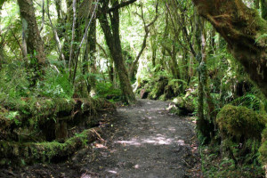
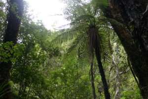
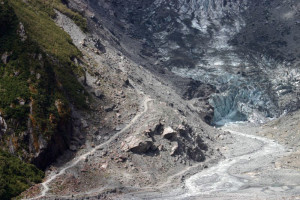
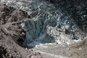
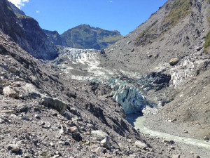
After leaving the mountains of the South Island, we headed north up Lake Wanaka and then out to to the West Coast, to begin our trip north. The scenery along the way is wonderful and we pulled into Franz Josef just in time to enjoy dinner at the April May restaurant. We had a room for only one night in town and awoke the next morning amid a war zone – or so it sounded. The only way these days to actually walk on the snow fields of the two glaciers is via a helicopter, and the local entrepreneurs are taking full advantage of the opportunities created by global warming. For the three days we were around the glacier areas, there was a nonstop buzz of helicopters overhead – Adam would have loved it. That morning we drove back south to the Fox Glacier village and had coffee at Lake Matheson, the home of the twin mountains reflection photo, the one on all of the postcards. It’s a bit like the Maroon Bells shot. Everyone has to come here and try and take the perfect picture of Mt. Cook and Mt. Tasman reflected in the lake. We actually didn’t take the one hour walk to the lake – just sat at the café and admired the beautiful view. We then headed over to walk up the access track to Fox Glacier. The DOC periodically moves the track to get you as close as possible to the terminal end but today we got a pretty good look at it. It was a hot, rocky walk with millions of tourists (Chinese New Year visitors apparently are swelling the ranks of NZ tourists this month). We then headed to the other side of the valley and went up the Chalet track, to another outlook of the glacier. This track is literally in a rainforest, which is odd because it was apparently the original track to take you up to the glacier, before global warming. When we started up the track, there was a bobcat-like thing and a couple of other pieces of equipment and a couple of guys working on the track. Somehow they had managed to get that bobcat all the way up the track, forded three or four streams, and made that track as smooth as a baby’s bottom. Now we know how they create these boulevards! But it was a lovely view of the glacier and a much more pleasant walk, though very humid.

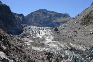
IMG_0668This is the first short walk to the face of the Fox Glacier.

IMG_1339

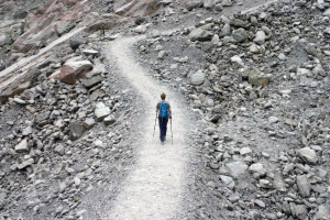
This is the Chalet track on the other side of the valley.  Can you believe we are on our way to see a glacier?

IMG_1336

This is not the sort of thing you expect to see when going to view a glacier.

IMG_1348

At the end of the Chalet track was a viewing platform.  This picture is looking down on the short hike we did before lunch.

IMG_1353

From the Chalet track viewing platform, I took this closeup of the face of the glacier with my telephoto lens.  And if you compare it with the first photo above, which I took on our first short walk, you will notice that there was a huge hunk of ice that came off between our two hikes.  I had said to Barb, on our first hike that it looked like that block was about to come off.  Well I guess it did!  I’m sorry we missed it.

That night we headed about 45 north of the glacier to check into our next motel. Everything in the two glacier villages was booked, so we went up to a motel whose owners also run tours through a white heron nesting colony area. On arrival, they told us they were moving us to a house down the road. It turned out to be awful – old, tired, and dirty. It was bizarre. We were planning on staying there 4 nights but due to the lousy accommodations, cut it short to two nights.

IMG_0677We did not like this place at all.  Old, tired and dirty.

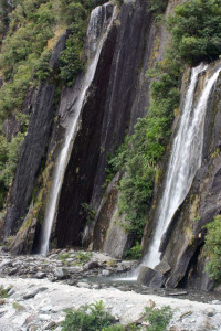
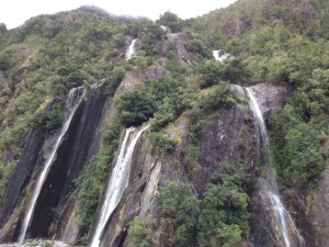
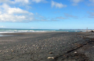
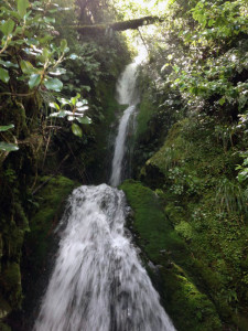
On the South Island, there are a couple of chains of large supermarkets, and a large chain of very small supermarkets that can be found in all of the little towns – FourSquare. We had shopped there on our second day to get some basics for dinner. The following morning we drove back to Franz Josef and I noticed an email from FourSquare. It was intriguing as there was an attachment with a photo clearly taken from a surveillance camera at the store, showing Spencer and me in the store. The email asked if we had noticed anything missing after our visit to the store. Neither of us could think of anything but we stopped by the store to talk to the manager. She recognized us immediately and smiled and asked if we had dropped anything the day before. We said we weren’t aware of anything and asked what it might have been. She said that I had dropped $120 of cash as I put back my credit card in the wallet. She took us into the back office to show us the camera video and I could see something dropping. Apparently, she had clipped the photo, and sent it around to all of the accommodations in town, asking if anyone knew who the person in the photo was. She said they sometimes have to do this for shoplifters. Apparently the young man from our motel recognized me and sent her my email address and they tracked me down. Truly amazing. So after making a donation of some of the returned cash to the community fund box at the store counter, we headed off to see the next glacier. Once again, we headed up a similar access trail to see the Franz Josef glacier terminus, and this track had a number of lovely waterfalls before reaching the end of the trail. NZ has so many beautiful waterfalls that Spencer and I now smirk as we go by and say, “Just another stinky, beautiful New Zealand waterfall.” On our way back to the house, we stopped at Okarito beach and took a very nice walk next to the Tasman Sea – next stop Australia!

IMG_1366The Franz Josef glacier as we approached.

IMG_1382

This is pretty much what most of the hike was like.

IMG_1326

View of the Franz Josef.

IMG_1367

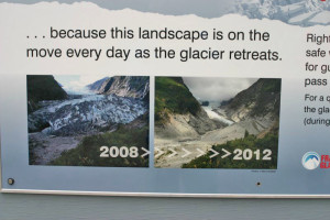
If you want to see these glaciers you had better hurry.  They are retreating at an amazing rate.

IMG_1369

Ho hum, more beautiful waterfalls.

IMG_0681

The same falls as above just a wider angle.

IMG_1414

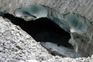
The track went up over what appeared to be a large mound of rock.  It turned out the mound was ice covered in rock.  Pretty neat!

TasmanBeach

Okarito beach

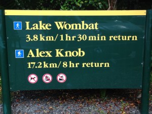
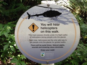
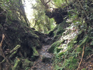
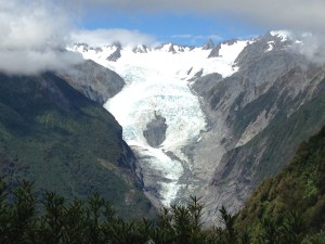
The next day, we checked out and went back down to Franz Josef, to hike the Alex Knob track. It was supposed to be an 8 hour hike, but we made it in 8 1/2 hours, after additionally visiting Betty’s Knob, or Bob Knob, or Jerry’s Knob – it was definitely not-Alex Knob. But we were clearly not the only hikers to make that incorrect right hand turn and we eventually made it up to the real knob. This was a really challenging hike for us, going up one of the mountains that once flanked the Franz Josef Glacier. It was no boulevard – rocky, wet, lots of roots, and lots of scrambling with hands involved. There were many, many 3 – 5 foot walls to clamber up/down and at one point on the way down, I slipped on a root when trying to maneuver down one of these and ended up like the proverbial turtle, tied up in roots with all four limbs flailing in the air, while my calf objected with a might charlie horse. Both Spencer and I got covered in mud trying to extricate me and my pack from this dilemma, but besides that, only my dignity was injured. This track happened to be right in the flight path of all of the helicopters taking all of the tourists to the snowfield, so there was a constant buzz, at first right overhead, then gradually below us until finally we couldn’t see them as we entered the cloud cover. There were two midway outlooks of the glacier where we had wonderful views of the top of the glacier, which couldn’t be seen from the tourist walkway below. When we finally found the real Alex Knob, around 3 p.m., we were in the clouds. So we stopped and ate some food and started to pack up to head down. Just as we were about to leave, the clouds parted and we got a wonderful look a the glacier, windowed by clouds on either side. Just spectacular. We finally made it back to the car around 7 p.m. and went back for another great meal at Alice May. We then drove north to Hokitika, our first significant night drive, and arrived at a lovely cottage for the night.

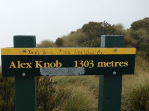
IMG_0697Trail marker at the start of the Alex Knob track.

IMG_0699

As Barb said, this track goes right under the helicopter route.

IMG_0701

This is pretty much what the whole track looked like.  It was a challenging hike.

IMG_0712

View of the Franz Josef Glacier at the second viewing point “Christmas Point”.

IMG_0731

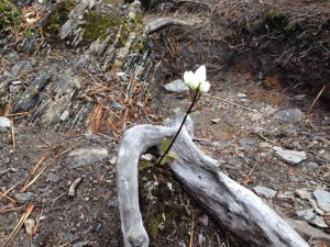
There were these beautiful, delicate, little white flowers that started appearing as we approached the top of the climb.

FalseSummit

This video is from the wrong knob.  As Barb said we took a wrong turn when we were close to the top.  But what a lovely view.  🙂

IMG_0737

Once we figured out where we had gone wrong, we climbed to the REAL Alex Knob.  Our view there was no better, until……

IMG_0740

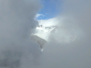
…. the music swelled, the clouds parted and we got a glimpse of the top of the sunlit glacier.  It was brief, only about 5 minutes.  Then the clouds closed up and we felt it was a sign that we should start down.  🙂  It was our most challenging hike but I think we both really enjoyed it.

17-Feb – Omarama

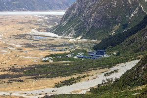
I had read many places about how busy New Zealand can become during its summer months, January and February, but until recently, we hadn’t seen that many tourists. But once we hit Queenstown, that all changed. And it’s becoming difficult to find accommodations in many of the places we want to visit, with everything being fully booked. This was the case with the Mt. Cook/Aoraki area. So we booked two night in the tiny town of Omarama, about one hour south of Mt. Cook, the country’s highest mt. The first day, we drove from Wanaka, dropped our bags at our B & B, and headed up to Mt. Cook. Mt. Cook is a national park, with a small village of motels, one big and overly tall hotel (who approved that monstrosity?) and the Sir Edmund Hillary Centre. The park contains most of the country’s mountains over 3,000 meters and apparently about 1/3 of it is always covered in snow or ice.
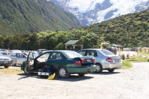
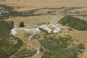
The place was mobbed. We parked at a spot with multiple trail-heads and a DOC campground. We’re coming to understand that DOC campgrounds, unlike our Forest Service campgrounds, are usually open fields where all the camper vans just park one on top of another out in the open. Very unappealing. At least the Forest Service makes some attempt at creating actual campsites with whatever privacy is possible. Anyway, with all of the gawkers, campers, trampers and tour busloads, it was chaos. But we chose that day to go up the Sealy Tarns Steps to get a good look at Mt. Cook and the Mueller glacier. This was a strange walk – about 550 meters of elevation gain on 2200 railroad tie steps. It took us to a small tarn (pond) and lookout where we got a great view of the glacier and Mt. Cook and heard numerous jet-engine rumblings of chunks of ice calving off the glaciers. We obviously lost most of the tourists on this walk and had some nice chats with the (much younger) people walking the steps with us. This walk was not for those with weak knees!

IMG_1231The mob scene at the Mount Cook village and DOC campground.

IMG_1225

A view from the car park before we started up the Sealy Tarns track.

IMG_1249

A view of the car park and campground from the Sealy Tarns track.

IMG_1250

The ugly hotel and Mount Cook village from the track.

IMG_1258

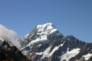
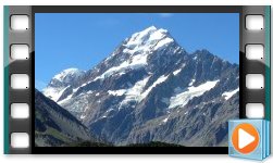
Mount Cook from the track.

 MountCook

Mount Cook from the top.

IMG_1271Mueller glacier from the Sealy Tarns track.

IMG_1256

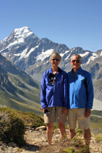
We kept running into this nice couple.  🙂

IMG_1265

The Sealy Tarns track staircase.  There are some 2200 steps.

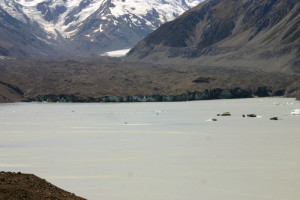
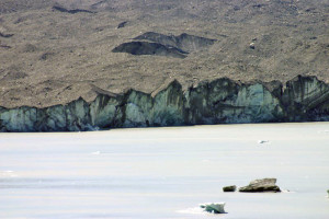
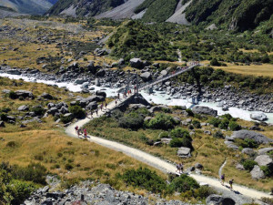
The next day we drove back up to Mt. Cook, and took the short walk up to the terminal end of Tasman Glacier. The glacier itself was so covered in dirt that only by looking at the terminal end would you know it’s a glacier. In fact, a DOC sign at the viewing place was titled, “And where is the glacier?” The glacier ended at a lake that had only appeared in 1970, and which has grown year by year as the glacier retreats. There were a number of icebergs floating in the lakes – our first chance to see icebergs. We then started up the Hooker Valley trail, to see the Hooker Glacier but didn’t have time to get to the end. However we were rewarded with some lovely views of Mt. Cook/Aoraki, which is really massive. (Oh no, I sound like a NZ TV ad. EVERY ad on TV is announcing MASSIVE sales, MASSIVE discounts, all in MASSIVELY loud voices.) We headed back to Omarama to make sure we got some dinner before the only open place in town closed.

 IMG_1279

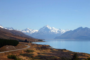
Lake Pukaki.  It’s a huge lake that collects the water from several of the glaciers flowing from the mountains.  It’s an amazing shade of turquoise and looks unreal.  The water coming off the front of the glaciers is a milky gray.  This is due to the “glacier flour” it contains, which is pulverized stone suspended in the water.  When this settles out, the remaining water is this amazing shade of turquoise.

IMG_1292

Tasman Glacier face.

IMG_1302

A closeup of the face with some icebergs on the lake.  The first icebergs Barb and I had ever seen.

IMG_0641

This is the stat of the Hooker Valley Track, which we did not finish on account of we ran out of time.  We were NOT alone!

IMG_0645

My girl on the Hooker Valley Track.

The next morning, we checked out of our B & B and walked two blocks to the annual lamb auction. There was a large area with about 50 pens, each with about 50 lambs in each one. There was a large crowd there of both buyers and sellers, with the auctioneers moving from pen to pen, selling the groups of lamb by pen. It was real, local NZ. We spoke with Tim and Dave, two young guys who had just sold their groups of lamb, and they said they had just given away their lamb basically. There is a real drought on the South Island and as they say in NZ, their main agricultural product is grass – needed to feed all of the sheep and cows. And without grass, they’re hurting. Tim suggested that we take a detour to see the area where he lives, which has a number of nice lakes and the “largest” hydro dam in the country. Tim was like many New Zealanders that we’ve met. They are all very proud of their country and want to send us to the “biggest” lake, “best fishing”, “highest” this, “most rare” that. And they usually aren’t exaggerating. They are very friendly people who seem to genuinely want to share their country with visitors. It’s very nice. I’m not sure we Americans are as excited about what our country has to offer, even though we certainly have a lot worth sharing.

LambAuctionA short video of the lamb auction.  It was quite interesting.

12-Feb – Wanaka

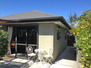
Wanaka is a smaller, quieter version of Queenstown, about 45 minutes north. It is located on Lake Wanaka, another large beautiful lake surrounded by mountains. The main street runs along the lake, with a long row of restaurants and bars overlooking the beach and lake. There is a bit of the adventure tour thing in Wanaka, but probably at about 5% of Queenstown’s level. So it is much lower key, with lots of young people in bikinis sunning on the lakefront beach, and very few boats out and about. We stayed at “JuJu’s Cottage”, a newer cottage behind a family’s home. The owners were there but in 5 days, never came over to say hello or introduce themselves. A bit weird but the cottage was very nice.

IMG_0562JuJu’s Cottage.

IMG_0575

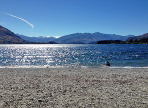
A couple pictures of the town beach.  Main street is directly to my back.  I unfortunately did not get any pictures of the town.  🙁

IMG_0570

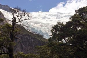
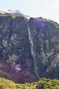
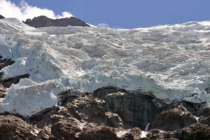
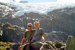
The day after arriving, we drove about an hour north of Wanaka, much of it on dirt road, to hike up to Rob Roy’s Glacier. The hike was constantly up but not too steep and about 1 1/2 hours long. It was shaded and ran along a river, until we finally came to a large clearing and looked up at an amphitheater-like cliff with the glacier spread out on top. There were about 10 waterfalls coming down – one was about 1,000 feet tall and the water turned to mist by the time it finally dropped the whole way. It was an amazing view and we spent about an hour munching on lunch and looking for some of the glacier to calve off. We did actually get to see one big chunk come off and it sounded like a jet was flying overhead. Really amazing. There was a fairly steady stream of people coming up to see it but there were never more than about 10 people there at any point, so it wasn’t mobbed. But we were hardly alone.

IMG_1144

We had just gotten started on the Rob Roy Track.

IMG_1168

A view of the glacier from the track.

IMG_1178

That 1,000 foot water fall Barb mentioned.  When the wind blew the water never made it to the ground it just became mist.

IMG_1198

A close up of the Rob Roy glacier.

RobRoyGlacier

This is our view as we were eating our lunch.

IMG_1205-x

A cute couple we met.  🙂

The next day we puttered around town and then went to the movies to see The Theory of Everything. Now this was a movie theater to remember. You needed to call them and reserve your tickets. Your reservation was scribbled into a book, which they checked upon your arrival. There were two theaters – the one we were in sat about 50 people. There were normal movie theater seats, but also a number of old couches as well as a dental chair. Apparently the other theater had a car you could sit in. They had a small café and if you wanted dinner at intermission, you placed your order when you picked up your tickets. They abruptly stop the movie midway, and if you ordered you could sit in the café and eat your lasagne. If you don’t finish, you’re invited to take your lasagna on a tray back to your seat. Or if you don’t want dinner, you can get one of their hot-out-of-the-oven cookies (which we sampled) or homemade ice cream to tide you over through the last half of the movie. After intermission, an employee comes in and asks if everybody is back in their seats, to see if they can restart the movie. Now talk about a quirky theater! It was great. As it was Valentine’s Day, we treated ourselves to a nice Italian dinner by the lake.

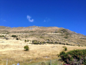
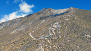
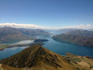
The next day, we hiked up Roy’s Peak, which is just a couple of miles outside of Wanaka, overlooking the lake and the town. Most of the hike is through sheep pasture, up a grassy farm track. But it is up – constantly. To the tune of about 4,200 feet of elevation gain. It was hot and dry and up, up, up. But once you got to the top, the views over the lake and the surrounding mountains made the effort worth it. We then replenished all the calories we burned by eating fish and chips at a bar overlooking the lake. Fish and chips seems to be the national food and is everywhere and the blue cod versions are often excellent. The next day we did more puttering and then loosened up our legs with a short hike around Diamond Lake. When we got back into town, they were putting up some really large tents on the town park grass. When we inquired about it, we found out there was an Ironman-like triathlon happening that weekend, and a few days later, when we stopped in town on our way through, we saw tons of people with tri bikes scoping out the route. All in all, we really liked Wanaka – more our speed than Queenstown but still big enough to have lots going on.

IMG_0592

That’s where we are going.  The bump under the little cloud.  Man what a hot slug up!

RoyPeak

The whole track was like this.  Completely exposed.

IMG_0615

But the views from the top were magnificent!  They made the slug worth while.

IMG_0620

The town of Wanaka from the top.  It’s a very cute town.

9-Feb – Alexandra

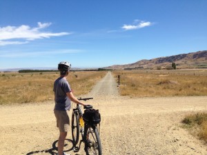
After adrenaline-soaked Queenstown, we headed 45 minutes east to Central Otago, the stone fruit capital of the south island. We stayed in Alexandra in a small apartment. The region was completely different from the mountainous, lake area of Queenstown. It was very dry, with rolling, rocky hills and a bit like the Palisades/Grand Junction area. It apparently gets about the same amount of rain each year as Boulder, so almost desert-like. The little towns of Central Otago decided to get into the tourist act, so a number of years ago they created the Central Otago Rail Trail, a gravel bike trail of about 150 km going from town to town on an old rail bed. So we decided to rent bikes and spend a day on the trail. In Omakau, we rented “sports mountain bikes” from a bike shop that specialized in putting together multi-day bike trips for the lots of foreigners that come to ride the trail. These bikes must have weighed about 100 lbs. each – I can’t imagine what their “comfort bikes” weighed! But they worked fine, once we got used to being on flat pedals without being clipped in. We road about 40 miles total on the bike trail and had a very nice day but I never want to ride that far again without my bike shorts. Ouch! First we did a quick detour in Ophir, strangely pronounced
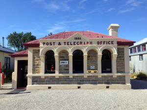
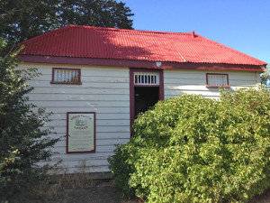
Oaf–a. This town of about 50 people has the oldest operating post office in New Zealand. The postmistress was very proud of the post office and invited us in to the back and showed us all of the old postal stuff that they had collected over at least 120 years. They still hand cancel with an old stamper and she invited us to cancel a postcard, if we wanted. And then we poked our heads into the old jail building in the back. We then headed out to the trail. Midday, we stopped at a café in the middle of nowhere for coffee and spoke with the owner. She was a bit frazzled as the electric company had decided to turn off her power for 5 hours without telling her and she had a constant stream of cyclists in looking for food and cold drinks. She said she had built the café there 5 years ago just to support the trail riders, as about 20,000 people a year bike the trail. Most of them seemed to be in the 50 – 65 year old age group and did not appear to have ridden a bike since they were children. I believe the bike shops deliver their luggage each day to the little town hotels where they spend the night. It was very hot and no shade and fun for a day, but I’m not sure I would want to have been out there baking for 4 days straight.

IMG_0505The Ophir post office.

IMG_0511

And the jail house out back behind the post office.

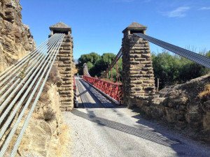
IMG_0516

An old historic bridge on our way out of Ophir and back to start the rail trail.

IMG_0521

Our stating point on the rail trail.

IMG_0547

You have GOT to be kidding…..

  BarbBike

My girl.

IMG_0534

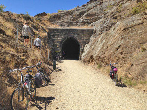
A very cool and dark tunnel.

LandScape

This is pretty much what the landscape looked like the entire ride.

The next day we toured a few local towns and visited the big hydro dam beach. Back in the 90’s they had flooded Cromwell, the next town up for a huge hydro lake, and as a result, the new Cromwell looks like some planned community out of a horror movie – too new to be real. We went to some of the farm stands, as it was prime peach, apricot and cherry season, with the new apples in as well. But I was grossly disappointed, as everything they sold was hard as a rock and sometimes green. After hearing people rave about the fruit from Central Otago, I was expecting the equivalent of our wonderful Palisades peaches, but it was not to be. The peaches are lousy! So the next day we packed our bags yet again and headed off to Wanaka.

4-Feb – Queenstown

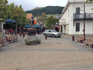
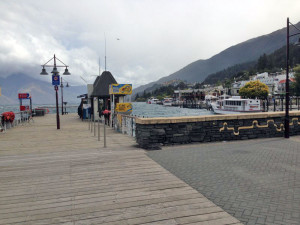
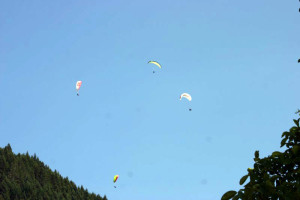
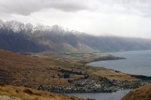
After the solitude of Mavora Lakes, we then moved to Queenstown, the Adventure Capital of New Zealand. Queenstown is a hustling, bustling town of about 30,000 residents and lord knows how many tourists. It is located on the northern end of Lake Wakatipu, with the Remarkables mountains in the background. It is a mix between Boulder (and has its own version of the Pearl St. Mall, but this one ends at the lake), Breck, Vail and Burlington, Vt. It is home to the most amazing collection of action activity vendors and everything is $200+. Even a guided day walk costs $180. But there is bungy jumping, canyon swings, ziplining, rafting, jet boat rides, skydiving, parasailing, paraflights over the lake, mountain biking, skiing, luge, ice skating, canyoning, fly fishing, Frisbee golf, cruises on the lake, visits to a farm for sheep shearing demos, etc., etc., etc. These people have thought of more ways to take lots of money off of lots and lots of people very quickly. The downtown is not unlike Boulder’s, with about 20% outdoor stores, 20% bars, 20% restaurants, 20% adventure broker sites and 20% clothing stores.
IMG_0446Queenstown’s “Pearl street mall”

IMG_0448

The wharf.

IMG_0454

The Remarkables mountains from town.

IMG_1003

Thrill seekers.

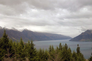
Our first day in Queenstown was grey and rainy so we spent the day wandering around downtown, drinking our first Starbucks coffee in months, looking at a bogus aquarium thing on the lake, and walking through Queenstown Gardens, with the Frisbee golf course, the rose garden, the lawn bowling courts and a great view of the harbor, with all of the many crazy boats going in and out. The next day, we tried to drive up to the Remarkables ski area, to start a hike from the base lodge area, but the road was closed after about 4km. It was also amazingly cold and windy up there, so we took the chicken’s choice and went for the Queenstown Hill Walk, just up the street from our motel. This actually ended up being a very steep walk of about 90 minutes up, up, up and with great views at the top. So it ended up being a nice choice.

IMG_0962Barb on the Queenstown Hill Walk.

IMG_0955

The next few pictures are of Queenstown as we moved up the hill.

IMG_0961

IMG_0973

IMG_0979

Lake Wakatipu from the hike.  It is a beautiful lake and we were told the second cleanest lake in the world.  You can safely drink the water.

IMG_0989

The Remarkables mountains from the summit.

Our next day we decided to attend the New Zealand Rural Games, which were going on that weekend. Much to our surprise, it was Waitangi Weekend in NZ, apparently a bit similar to our July 4. So it was a long holiday weekend with lots of stuff going on around town, including these rural games. Apparently, while we hiked up Queenstown Hill the prior day, they ran 300 sheep through the middle of the town. Imagine, if you will, 300 sheep running down Spruce Street in Boulder! But we missed it, as we were hiking and oblivious. But that night we went to an amazing restaurant, Rata, and had a wonderful night out.

We got up early to see the sheepdog trials – with teams from the North and South Island competing against each other. Each team consisted of 4 sets of a dog handler with his two sheep dogs. Each handler and dogs would go out on the soccer field with 6 sheep. They had to get the sheep through a couple of gates, over a little bridge, split the sheep into 2 groups of 3 sheep and then get 3 sheep into two different holding pens. The hard part was splitting the sheep as they really did want to be together and the dogs would get them split onto two ends of the field and while the handler and one dog worked on getting 3 sheep into one pen, the other dog was supposed to keep the 3 remaining sheep from dashing back to their friends. This often proved to be quite difficult, with many competitors have to repeat the splitting multiple times. They got scored on some point system we didn’t understand but it was fun to watch the dogs in action.

SheepDogsThe sheep dogs were amazing.

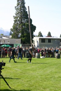
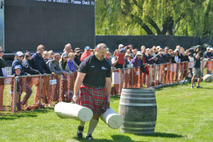
Then came the Scottish rural games, with teams from NZ against Australia. They each did the throw the pole thing, the carry heavy log thing, and the put the big stones on the barrel thing. All dressed in kilts. On the other end of the field, there was a coal shoveling competition, where they had to shovel half a ton of coal into a bin. The winner did it in 19 seconds. We got hungry and left and so missed the gumboot throw.
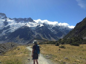
IMG_0998

The caber toss.

IMG_1009

Those logs looked might heavy.

The next day, we drove south along the lake to Glenorchy, a little town at the end of the lake, and then on to the other end/start of the Routeburn track. This was a spectacular walk, first following a turquoise colored river up, up gradually, to the Routeburn Flats hut, where we sat by the river and ate lunch. Then we headed up to the Routeburn Falls hut but this was a steep climb up the to falls. The DOC hut was built right next to the falls and had about 50 bunks. In summer, you can get a bunk at the hut for $54. Right above it, though, was a lodge about twice as big, a lodge where a commercial guiding group brings hikers up. For the small price of $1370, you can do a 3 day, two night hike, sharing a bunk with 5 others while in their lodges. We went the cheap way – we just hiked in for the day and called it great!

LakeWakatipuThis is a video of Lake Wakatipu as we drove to the Routeburn track.

IMG_1034

The next few pictures are of the Routeburn track.

IMG_1037

IMG_1051

IMG_1045

IMG_1055

They were working on the trail.

IMG_1064

IMG_1076

The Flats where we stopped and had lunch.

IMG_1096

The Flats hut.

IMG_1105

The Falls hut which was another hour from the Flats hut.

IMG_1107

We made it to the Falls hut.

The next day, we packed up all of our junk and headed out to Central Otago, to Alexandra. But on the way we stopped to watch the bungy jumpers at the Kawarau Bridge, the first commercial bungy site in the world. Over 100,000 people have jumped off that bridge. We got photos and drove on…

BungyJump

1-Feb – Mavora Lakes

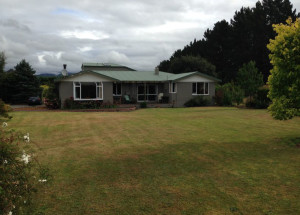
After our trip to Doubtful Sound, we headed half an hour inland to a 3 bedroom house near Mavora Lakes. It was out in farm country, with no internet and no cell coverage, and no other homes in sight.  Our hosts owned the farm next door, doing dairy farming, with some pet sheep and some chucks (local name for chickens) living out our front door.  It was nice to have some room to spread out in, as we’ve been living for three months in very tight quarters, but we could only connect with the world when we drove back into Te Anau. We were provided with fresh raw milk and fresh eggs from the “chucks” in the yard.

IMG_0398Our house in the country.

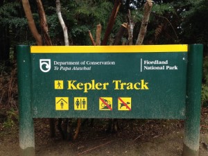
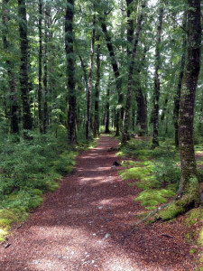
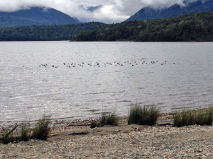
In New Zealand, they have designated 9 multi-day hikes as “Great Walks”, and they, and the track huts, are extremely popular.  On our first day out at Mavora Lakes, we drove back to Te Anau and did a portion of the Kepler Track, starting from Rainbow Reach.  This was our first Great Walks experience and we were a bit surprised at the boulevard that awaited us.  It was a beautiful walk through a dense beech forest where EVERYTHING was covered in a briliant, light green moss blanket.  I think it is spagnum moss and it was incredibly thick.  This was clearly a popular route, with both day hikers and backpackers, and it took us out to Lake Manapouri for a beautiful view.  The day had been threatening rain all day but we avoided getting wet with just a sprinkle or two.  The path itself was wide and completely smooth, covered in little beech leaves, so no need to be looking at your feet.

IMG_0389

IMG_0386

IMG_0370

IMG_0371

IMG_0375

IMG_0377

IMG_0381

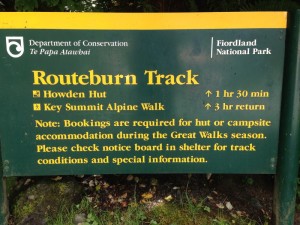
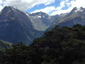
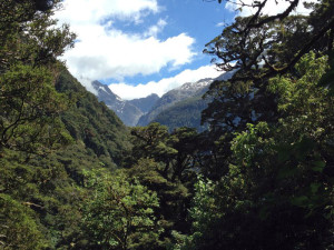
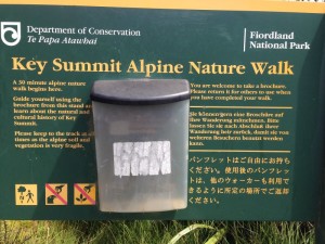
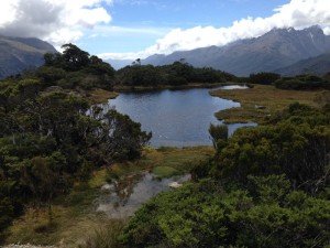
The next day we drove back up toward Milford Sound to hike up to Key Summit.  We started on the Routeburn Track, another one of the Great Walks, again on  a big wide, smooth path but going steadily up, and then diverged to go up to Key Summit.  From there the views were amazing and there was a nature walk loop with a laminated sheet explaining various things along the loop. This too was a very popular walk and we were hardly alone but the views were fabulous.  This area was used by the Maori for supplying greenstone, what we call jade, which they used for decorative jewelry and for some mean looking clubs to be used against their neighbors.  On the way down, we noticed the green color of the rock next to the trail and wondered what it would look like once polished.  Once back at the house, Spencer took advantage of the host’s invitation to hand feed the sheep some weird nuggets, and both Spencer and the sheep seemed to enjoy this.  I believe the hosts provide the nuggets for their guests’ kids to use for feeding the sheep, but ever the kid, Spencer couldn’t resist.

IMG_0404

IMG_0430

IMG_0437

IMG_0406

IMG_0410

IMG_0418

There was a short nature walk at Key Summit.

IMG_0423

IMG_0417

IMG_0412

29-Jan – Te Anau/Doubtful Sound

Our next stop was Te Anau, the gateway to Fiordland National Park. I had all along been assuming that we would visit the west coast fyords via the west coast. However, unbeknownst to me, there really are no roads that follow the southwest coast, due to the ruggedness and fyords cutting in from the Tasman Sea. To get to the “Sounds” (Milford Sound and Doubtful Sound, among others), we needed to drive north and inland. There are two large inland lakes here that had been carved out by the glaciers, Lake Te Anau (the largest lake in NZ) and Lake Manapouri, the second deepest lake in NZ. They are both incredibly deep, up to 1400 ft. deep in places, very large and very beautiful, with very little boating activity.

LakeManapouriLake Manapouri as we drove into Te Anau.

We stayed in Te Anau for two nights. Te Anau is a tourist town, basically motels and restaurants, with a few other stores thrown in, on the shores of a beautiful lake. We decided to drive up to Milford Sound on our first day and see what it was all about. I had thought that Milford Sound had a town of that name. But actually, once you leave Te Anau, that’s it. Two and a half hours of driving, much of it through the park, with no gas, no stores, no nothing until you arrive at the inland end of the sound (actually, technically a fyord as these “sounds” were carved out by glaciers). The drive was the main draw. After about 45 minutes of following the shores of Lake Te Anau, we started up a twisty, turny, narrow 2 lane road, which on occasion morphed into a one lane road, with some one lane bridges thrown in for good measure. As you drove up to the tunnel, the mountains became steeper and steeper, until they were sheer rock walls of gneiss. They were almost vertical. It started to rain and there were many temporary waterfalls streaming from the tops of the mountains. It was quite spectacular.

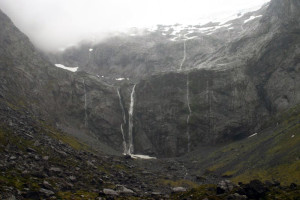
IMG_0684It was a very rainy, misty day.  Which it is most of the time.  They get some 18 feet of rain a year in the Fiordlands.

IMG_0710

Water falls everywhere.

IMG_0693

Since the mountains are a form of granite when it rains waterfalls appear everywhere.  There is no vegetation to hold the water back.  It is really quite spectacular.

IMG_0686

There was a large parking area just by the Homer Tunnel so we stopped to have our lunch.  You can see a little bit of snow at the bottom of this waterfall.  In one of the guide books they talk about that being a rather large snow pack that at the right time of year you can walk into the tunnel carved by the waterfall and resulting river.  I was looking forward to that but alas, it was the wrong time of year.

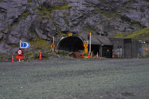
We got to the Homer Tunnel and I felt like I was seeing the 1940’s version of the Eisenhower Tunnel. It was at the top of the pass and was 1½ lanes wide, with uneven, bumpy, random pavement and raw rock walls. There was a stoplight that let one direction of traffic through at a time, but this light doesn’t operate from 8 pm to 6 am, so I imagine it’s quite a free for all at night, trying to get through that tunnel! Then, down, down, down, more hairpin turns, until you came to Milford Sound. There we found the wharves for the tourist cruise boats and a café and souvenir shop. The Sound looked lovely, with steep walls and cascading waterfalls, but with boatloads (literally and figuratively) of tourists. Apparently one day that week, over 5,000 people went out on the day and overnight cruise boats to see Milford Sound. We walked a bit on the shore and then headed back to town. We spent the night in an adequate but dreary motel, and then got up the next morning to head out to Doubtful Sound.
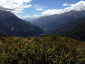
IMG_0694The Homer Tunnel.

IMG_0700

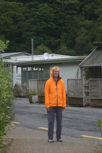
Barb at the Milford Sound DOC office and cafe.  This is the end of the line for the Milford Sound road.  You have no place to go but back the way you came or get on a ferry and head out into the sound.

IMG_0707

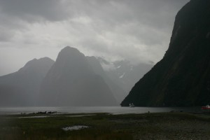
Standing out on the rocks at low tide.  You can see a ferry heading out into the sound.

IMG_0695

This place was magical.  We are still at the end of the Milford Sound road and I’m looking out into the sound.

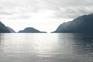
We had decided to splurge on an overnight cruise through Doubtful Sound, a much larger fyord than Milford and with about 8% of the people cruising through it. To get to our boat, we took a tourist cruise boat across Lake Manapouri in a drizzling rain. This was a lovely one hour trip that took us to the West Arm power station.

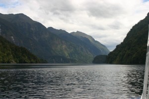
IMG_0719The surrounding mountains from the ferry while crossing Lake Manapouri on our way to Doubtful Sound.

Back in the 60’s (I think) they decided to build a big hydroelectric plant on the lake and had proposed raising the shoreline 30 feet. This created a huge uproar in NZ and is credited with creating the first surge in environmentalism in the country. The proposal went through but with significant restrictions, including not raising the water level from its current level. This power station feeds only one aluminum smelter in Bluff but provides enough power to power the entire needs of the South Island, were it not directed at the smelting operation.

So the next leg of our trip involved a 14 mile dirt road going over Wilmot Pass to Deep Cove at the inland end of Doubtful Sound. This road was built to get all of the equipment up to the power plant and was the most expensive stretch of road ever built in NZ. It was another narrow, twisty, turny road going over a pass, but this time gravel. As we traveled by van over the pass, Sean explained that due to the steep, hard, gneiss mountain walls, there was no soil on the rock faces. But because Doubtful Sounds gets about 17 feet of rainfall each year (one year saw 52 feet of rain), lichen and moss are able to grow on the rock walls. These mats of moss and lichen are up to 15 feet deep in places. This allows shrubs and trees (we saw some about 30 feet high) to grow on vertical rock walls, and so the cliffs on the Sound are often covered in vegetation. Apparently, in very dry or very wet years, the moss lets go and the trees and shrubs lose their base and they have tree avalanches.

IMG_0748Our first view of Doubtful Sound as we crossed Wilmot Pass.  That is Deep Cove where we met our boat.

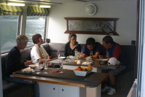
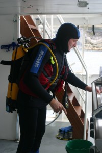
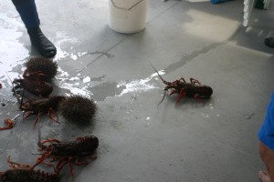
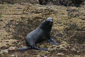
Upon arriving at Doubtful Sound, we boarded our cruise boat with 4 other guests, Singaporeans currently living in Australia, and Nigel, our skipper, and Sean, our do-everything-else person. It was a boat built for up to 11 guests, so there was room to spare. We motored slowly out toward the Tasman Sea and were totally awed by the Sound. It was truly gorgeous. We spent much of the afternoon at the mouth of the fyord, watching fur seals, and fishing for dinner. The guests were supplied with rods and the blue cod and sea perch seemed to jump on everyone’s hook but mine, and this provided enough catch to provide us with our main course for the evening. Sean, man of all trades, donned his scuba gear and catch bag and dived down to catch (by hand) 6 very large lobsters for our first course.

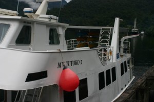
IMG_0761The Mv Tutoko II, our ride.

IMG_0757

IMG_0927

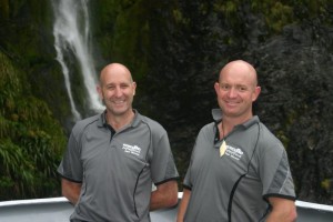
Sean our cook and all around do everything guy and Nigel our captain.

IMG_0925

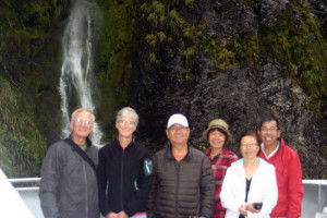
Our shipmates, Peter, Leigh, Peggy, and Louis.  They were great shipmates.

IMG_0795

We were served a hot lunch when we got on board and started our long ride out the the Tasman.

IMG_0769

Motoring out into the sound heading for the Tasman Sea.

DoubtfulSound

This video gives a good idea of what it was like motoring along in the fyord.  It was absolutely amazing.

IMG_0835

Sean getting ready to catch part of our dinner.

IMG_0885

And his catch.  Six rock lobsters and two large sea urchins.

IMG_0816

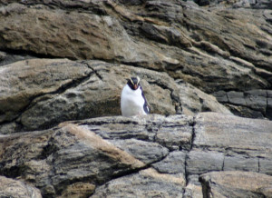
Some of the natives resting on the rocks right at the opening to the Tasman sea.

IMG_0869

We spotted another molting Fiordland crested penguin.

IMG_0797

That’s the Tasman sea beyond that island.  Next stop, Australia.

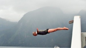
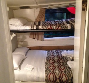
We then motored back down the Sound to a bay, where the six of us went out to explore in kayaks. Spencer and I saw two loud oyster-catcher birds and their chick, and the parents were none too happy with us being there. When we were told to group together in our kayaks for a group photo, one of our group went into the drink. He managed to retain his glasses and his humor, while Nigel headed out with the tender to unceremoniously haul him out of the water. Once back on board, Spencer wowed us all with some diving off the helipad on the upper deck. At this point, it was time for Sean to cook us a wonderful dinner of very fresh lobster and fish, following by sticky pudding and caramel sauce. We then headed to bed in our private but very stuffy room.

KayakSoundA video of us all paddling around a little bay.  You can see the helipad on the back of the boat from which I did my diving.  Probably 20 feet.

dive3

Whenever I stand above water I want to dive into it.

IMG_0359

Our little stuffy berth.

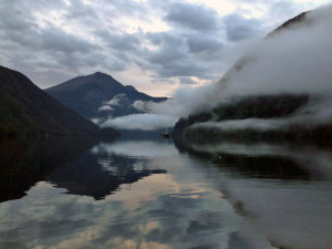
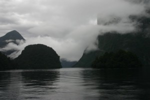
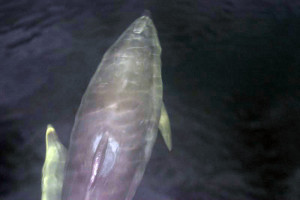
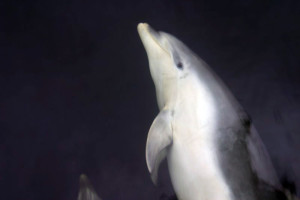
The next morning, Nigel started up the boat at 6 a.m. but we didn’t have to re-appear until 7:30 a.m. breakfast. We then spent the next couple of hours motoring around the Sound. At one point, I spotted some dolphins near shore. The Sound has dolphin-protection areas, so we were not allowed to approach them. But Nigel turned the boat around and we paralleled them at quite a distance for a while, and the dolphins decided they wanted to join us to ride our bow wave. About 8 large bottlenose dolphins appeared at our bow, and I mean about 6 inches from the sides of the boat, and swam with us for about 10-15 minutes. They were big – about 9 feet long. One was so large that the skipper suggested it was a pregnant female. So we’re all hanging over the bow, looking down on these dolphins about 5 feet away, and they were often swimming on their sides, appearing to be staring up at us with the same amount of curiosity that we had for them. It was truly amazing. A very David Attenborough moment (although we’ve had MANY of those in this trip). Finally they veered off and we went off to explore another cove. At one point, the skipper turned off the boat engines and we spent about 5 minutes in total quiet, looking at the most amazing scenery. But it had to end and off we went back to Deep Cove and the van. When we made it back to the power station and waited for our boat back, it began to pour. The people coming off the boat to begin their overnight excursions did not look too happy! After getting back to shore and a hot lunch, we were off to our next location, Mavora Lakes.

IMG_0340

Our neighbor there is the larger tour company.  They spent the night in the same bay.

IMG_0929

The morning was cool, foggy and cloudy.  Surprise, surprise.  🙂

IMG_0887

This was a VERY big dolphin.   Nigel said it was probably a pregnant female.

 IMG_0892

“So if you want to look at me then I get to look at you too.”  🙂  I really got the feeling that they were looking back up at us.   As Barb said a real David Attenborough moment.

25-Jan – Stewart Island

After a couple of relaxing days in Invercargill, we drove down to Bluff to pick up the ferry to Stewart Island. It was a lovely day for a one hour trip and we arrived in Oban on Half Moon Bay. This is the only town on Stewart Island. The island is quite large and about 85% of it is national park. There are a number of small islands right off the coast, with water shuttles that will take you out to various islands or beaches.

FerryToStewartThe ferry ride to Stewart Island

HalfMoonBay

Half Moon Bay on Stewart Island

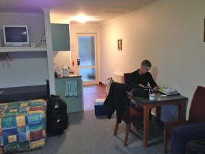
We arrived midday and went to see if the backpackers/hostel we were to stay in for four nights was ready for us. Rob, the manager, was not around and a young, German woman told us to come back in a couple of hours, which we did. Rob was still nowhere to be seen but we were put in a postage-sized room on the second floor, up some very steep and uneven stairs. The room was big enough for a bed and nothing more, and was stifling hot with only one window. So we dumped our stuff and went out for a short walk that took us through town and down to Golden Bay. When we returned again, we mentioned that we hadn’t yet seen Rob and someone pointed out a young man completely passed out in the living room, totally oblivious to the crowd and noise around him. We actually never saw him conscious. We made our dinner in the communal kitchen and retired to our stifling room. Upstairs, we found that there was absolutely no light in either the stairway or the upstairs hall and that the bathroom was downstairs. And no obvious exit in case of fire, other than the bad, dark stairway. The young people at the hostel were still up and drinking whiskey downstairs past 3 a.m. Needless to say, we didn’t get much sleep that night. By 8:30 the next morning, I had gotten us a room at a very nice motel just around the corner – thank heavens!

IMG_0236The Bunkers Backpacker.  Our room was the upper left window.  What a pit.  Sorry, no picture of Rob passed out on the couch.  That would have been great.  Wish I had thought of it.

IMG_0230

This was our room at the Backpacker.  Note the sloped ceiling.  I could not get in or out of bed without hitting my head.

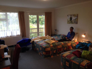
IMG_0296

Our “NEW’ place.  Much better.

IMG_0271

The bedroom had just a tad more space.  NO MORE BACKPACKERS!

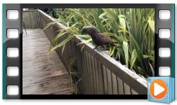
KeaParrot

Check out this video of a Kea that came to visit me on the deck of our new place.

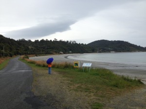
The next day, we went over to the national park visitor center to see what our hiking options were. Unfortunately, to actually get to the park, you needed to walk over 4 miles on pavement each way to get to any hikes in the park, or pay $30 each person each way for a shuttle. So we came all the way to Stewart Island and didn’t get to any of the hikes in the park. Instead, we walked up the road to a lovely beach, and then back down a coastal cliff trail back to town, about 9 miles total, and most of it on road.

IMG_0241

We did a couple of local hikes that we could reach within a short walk from town.  This is horseshoe bay.  Quit lovely in spite of the rain.

IMG_0252

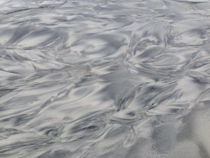
There was a little stream that flowed across horseshoe beach.  The beach had some dark grains of sand that the flowing water made look a little like marble.  Well I thought it was kind of cool so I got “artsy” with the camera.

IMG_0229

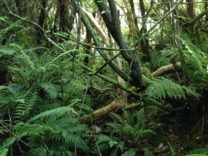
This island is so very lush. This will give you an idea of what these hikes were like.  Very thick undergrowth.

IMG_0267

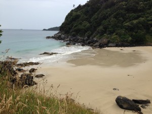
A tiny, secluded beach along our hike back from horseshoe bay.

IMG_0225

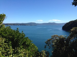
Just a view from along our hike.

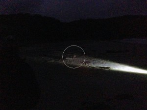
That night, the first of our three main events began. Around 9 pm, we got on a boat with about 15 other people to take a 45 minute boat ride to a dock on the other side of Stewart Island. We were each given a flashlight and walked about 1/2 mile through the bush to a beach. By the time we got there, it was dark and we were instructed to not use our flashlights on the beach. Our guide used his light, looking for the elusive kiwi bird that comes to the beach at night to dig around with its long beak to find insects and other delicacies. The nostrils are at the very end of the beak to smell for dinner, as their eyesight is very poor. We watched two kiwis methodically rooting around in the sand but the second was scared off by one of our noisy tourists. We then tramped back in the dark to the boat and then motored back, arriving about midnight.
KiwiNightI know it’s a terrible picture but it’s the only one I have.  We were not allowed to use flash as it frightens the birds and as Barb said above, only our guide used his flashlight.  You could see the bird quite well with the naked eye.  It was very cool.  Oh and this was the same beach that David Attenborough used for his kiwi segment.  We are following in the footsteps of my hero.  🙂

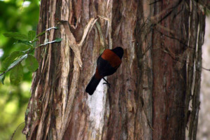
The next morning we were up at 6 a.m. to walk back to Golden Bay to meet our next tour group.  There were about a dozen of us, many the same as the prior night’s excursion, and we were put in a water shuttle to go over to Ulva Island, a bird sanctuary.  NZ has a major problem with stoats, ferrets, rats and feral cats killing their bird life.  So the government has targeted certain islands to trap and kill them and re-introduce endangered birds.  Our guide was a lovely and knowledgeable woman, actually named Ulva, and we saw a lot of birds.  It was our first trip with serious birders and it was a bit amusing to see the frenzy that a few of these birds caused.  It clearly takes some skill to be able to spot some of these birds and Spencer and I were clearly not up to snuff.  But we saw enough to really enjoy the morning and we actually have now purchased a CD with NZ bird calls, so that we have a better idea of what is around.

SaddlebackSaddleback

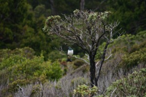
NZ-Pigeon

New Zealand Pigeon.  These birds, we learned are very important in the spreading of the seeds of native plants.
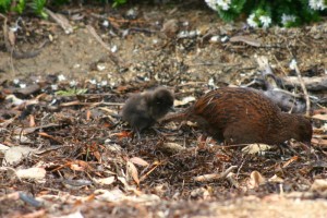
Weka

A parent Weka and it’s chick.  This parent was tearing up the beach looking for insects.  It was kind of funny, sand, sea weed and sticks flying in every direction as it hunted.
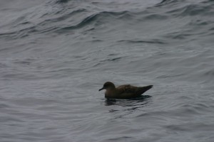
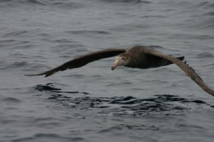
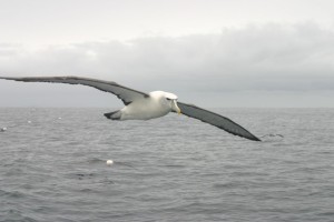
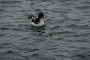
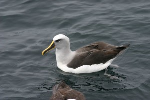
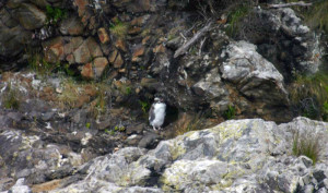
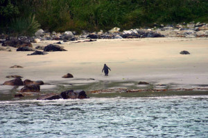
At midday, we were picked up at Ulva Island by yet another boat, to spend the afternoon at sea looking for pelagic birds.  The young skipper was really into showing us the various sea birds and had a bin of fish heads that he held up with tongs as the boat motored along.  There were loads of albatross and petrels following along, waiting for the fish heads to be thrown up.  The albatross would literally fly right next to us, arm’s distance away, so we got amazing views of them in flight.  We can now identify 4 different types of albatross and a few other random birds.  We also motored around to see some penguins.  We saw both Blue penguins and yellow-eyed penguins swimming in the water.  This was one of the ah-ha moments for me.  I realized that I had never seen (or noticed) a picture of penguins swimming on top of the water, which is how they spend most of their time.  Usually the pictures show them standing on land, or diving under water.  Much to my amazement, they actually look like sea birds when they swim on top of the water, like a loon but with more body submerged.  Who knew?  We also spotted a sad looking, lone crested Fiordland penguin in molt.  Most of his type had long  since gone back to sea.  When they molt, they’re stuck on land for 2-3 weeks, and that seems to be the case for this one.  We got back around 5 pm and were exhausted – way too much fun.

SootyShearwaterSooty Shearwater

IMG_0623

I’m not sure what this one is called.

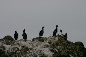
StewartIslandShag

Stewart Island Shags

FlyingWhite-capped

White capped Albatross

CapePeetrel

Cape Petrel

BullersAlbatross

Bullers Albatross – Barbs favorite.

White-cappedRoyalAlbatross

White capped in the front and a Royal Albatross in the back.  We were told the Royal is the largest of all Albatross

 FlyingAlbatross

You have to check this video out.  This was a highlight for me.  Especially when the birds were flying alongside the boat.  The were within arms reach.  At on point I tried to reach out and touch this one but he was too quick for me.  If he had not been I would have been successful.  That is how close they were.

CrestedPenguin

Here’s the lone, molting Crested Fiordland penguin.

Yellow-EyedPengui

We also saw this Yellow Eyed penguin swim ashore and waddle across the beach to its nest.

The weather for both days had been grey with some drizzle and no real sun.  But it got much worse that night and by the next morning, we were enveloped in fog.  We hopped on the 8 a.m. ferry to Bluff and by the time we were half way there, the fog had burned off and it was a lovely day.  We did a few errands, like paying a parking ticket, in Invercargill, had a great breakfast at the Batch, and then headed out again on the Southern Scenic Route.  We drove along the coast, with some beautiful views and beaches, to Tuatapere, and then turned around to head back to Riverton, to the night’s B & B accommodations.  We stayed with Gay, a very friendly 70 year old woman, whose husband was in a home with Alzheimer’s, and she clearly enjoyed the company of her guests.  The room was great – she had been doing this for 20 years and provided anything and everything a guest would want, including electrical chargers, beer and wine.  We had a really fine dinner overlooking the bay at a local restaurant and then back for a good night’s rest before heading out to Te Anau the next day.

IMG_0300I did not take any pictures of Gay’s house or of Riverton.  The only picture I have is of the sea and of course a few sheep that I took on our little walk before heading Gay’s B & B.

22-Jan – Invercargill

Down at the end of the South Island is Invercargill, a town about the size of Longmont. It’s an odd town, very spread out, with an old, dying main street that looks like many Midwest main streets, with lots of empty stores, sex shops and some cafes. The newer shops are on streets one or two blocks out from the main street. The town planners here really need to rethink things because the old buildings on main street could be really beautiful with a bit of work. The town has a huge and lovely botanic garden, and nice museum which also specializes in raising a rare lizard, the Tuatara. On Friday afternoons, it’s a big deal to watch the lizard keeper throw maggots to the lizards, which we of course we had to see. These lizards have long lives and they believe that Henry, who is quite famous, is about 120 years old. There is also a technical college here that offers free tuition to New Zealanders and they have students from all over the country. Apparently, the town controls all liquor sales, including those at restaurants and bars, and so reaps lots and lots of money to put toward gardens, museums and schools.

IMG_0460

Our little studio in Invercargill.

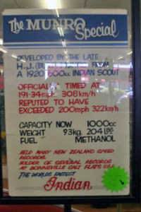
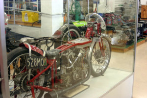
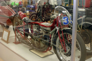
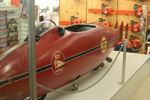
But our real reason for being here was Burt Munro. Don’t remember Burt Munro? The World’s Fastest Indian guy. I’m not sure what came first, the chicken or the egg, but this is a town that loves speed. There were more guys revving motorcycles out on the streets, and there are a couple of different raceways out toward the beach, with a big race going on the day we were there. I believe I read that there were about 9,000 attending the race that day. Our host had two big garages, containing two very old Hillman’s, one of which was outfitted for racing, and a couple of other race cars under construction. But the highlight was E Hammer, a truly bizarre local hardware store. Envision McGuckin’s – your very big, local hardware store. Take out every other aisle of stuff and instead, put in a collection of very old motorcycles, and in the housewares section, add old cars and old trucks. And add the original World’s Fastest Indian motorcycle and various related Burt Munro motorcycles and stuff. The hardware store owner is a collector and has decided to display them in his hardware store, free of charge, in between all of the hardware goods. Spencer was in his element, as were a number of men of similar age wandering around the store, gawking and taking pictures – right next to the pots and pans aisle.

IMG_0466

This hardware store was amazing.  The owner was clearly a good friend of Burt’s but also a lover of old, unique things.  There was one whole cabinet of old wood working tools which is also a love of mine.

IMG_0469

This is it.  The REAL Munro Special.  The one that set and still holds several speed records at the Bonneville Salt Flats.

IMG_0480

The real deal from the front.

IMG_0477

The real slip steam body.

IMG_0208

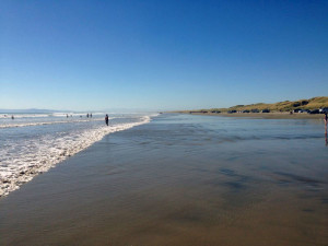
This is the beach that was in the movie and the beach on which Burt did his test runs.

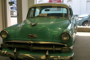
IMG_0489

This is the old Chevy that Burt (Anthony Hopkins) bought in L.A. for the movie.

IMG_0203

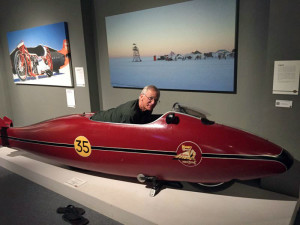
Burt, I mean Spence in the Worlds Fastest Indian.  This is actually a display in the Invercargill museum.  Yes it said you could climb aboard and take pictures.  Seeing all of the World’s Fastest Indian stuff and learning about Burt Munro was a real treat for me.

In addition to this, we went out and hiked around a large estuary and down to the ocean before driving down to the beach where Burt used to test his motorcycle. It is very hard sand and there must have been 50 cars parked out on the beach with people swimming in the surf. Burt would have had no room to ride out there now. So all in all, it was a slice of real New Zealand – not really a tourist town and fun to wander around before heading out on the ferry to Stewart Island.