18-Mar – Tongariro National Park

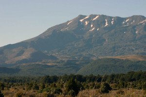
A number of people that we had chatted with on our hikes through NZ had suggested that we walk the Tongariro Alpine Crossing in Tongariro National Park. So we headed south to Discovery Lodge, the closest lodging to the start of the track. This park has three active volcanoes – Ruapehu at the south, Ngauruhoe in the middle and Tongariro northernmost, all within spitting distance of each other. Ruapehu has the only three ski areas on the North Island and I believe it was used for some of the close up shots of Mordor in LOTR, Ngauruhoe is a perfectly formed volcano cone, used for the long distance shots for Mordor but couldn’t be used for close filming due to Maori restrictions on the land, and then Tongariro, which had its Te Maari craters erupt two years ago and is still belching steam, while being located 1.5 km from the DOC hut. Apparently flying debris damaged both the hut and and parts of the track at the time.

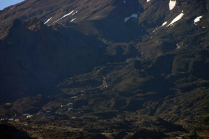
IMG_1607Mount Ruapehu.  If you look in the middle left of this picture you will see the Whakapa Ski area. This mountain was used for close up shots of Mount Doom in the “Lord of the Rings” movies.

IMG_1608

Zoomed in you can easily see the ski resort on the side of mount doom.

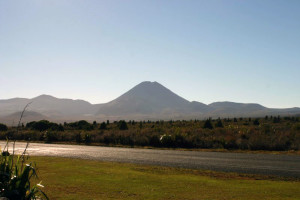
IMG_1594

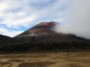
Mount Ngauruhoe is the volcano used for the distance shots of Mount Doom in the “Lord of the Rings” movies.

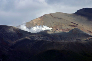
IMG_1589

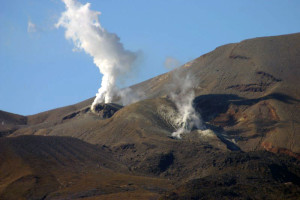
Mount Tongariro.  As Barb said it erupted two years ago and is still belching steam and gas.

So after checking in at our little cottage, we drove to do a short hike up to a lake and then on the way back, decided to drive up toward Ruapehu, to check out the Whakapa Ski Field. Strangely, as you drive up through the lower flats, you come to a little village. In that village is the park visitor center and Chateau Tongariro. Now this 1929 hotel looks very much like the big Chateau hotels in Canada, that were built when the east/west rail was built. We’ve visited one in Quebec City with the girls, and one on Vancouver Island, where we had our one and only high tea. This one here also offers high tea – at the base of three active volcanoes! Apparently, it was styled after the Chateau hotel in Lake Louise. You then start climbing up this twisty, turny road through aptly named Scoria Flats. This was the most bizarre ski area I had ever seen. There was little to no plant life – just volcanic rubble everywhere. It looked like we had arrived at Mordor and it was hard to imagine that they could get enough snow to cover all that rock. There were two men talking in the parking lot and it looked like they worked there, so I asked them how much snow they needed to actually make this rockfest skiable. I think we were actually talking to two senior managers there – I know one guy ran all of the ski school, rentals, food, etc. and I think the other was the general manager. Anyway, they spent a half hour talking about the ski area. It is surrounded by about 20 big houses – ski clubs apparently that can house up to about 1,000 people – not unlike Norwalk ski club. He said that sleeping in club dorms is going out of style so they aren’t used as much. They get up to 5,000 people on a good day and their sister area around the backside can get an equal number. They have one very small parking lot, so I have no idea where people park. They said it was like Mammoth skiing – they are 90 km from the ocean and get big wet dumps. They often have to move snow around, as it fills in pockets and must be moved onto the groomed slopes. All very 60’ish. No sign of high speed quads, escalators to the lodge, or warm freshly baked cookies. Just old fashioned skiing.
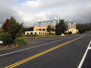
IMG_1207Chateau Tongariro on your way up to the ski area.  I wish we had gone inside but did not have time.

IMG_1189

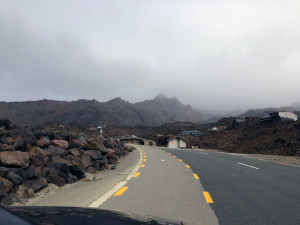
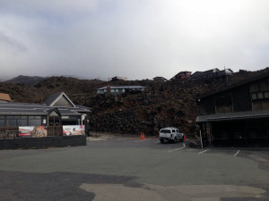
Just coming up on the ski area.  It was a cold, windy, drizzly day and the mountain was in a cloud.

IMG_1201

The main ski village.  The building on the left is the ski rental and school and the building on the right is where you buy your lift tickets.

IMG_1199

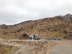
Below on the left is the beginner area.  The manager said that they have a “magic carpet” down there for the little kids.

IMG_1203

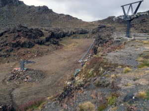
This is the only lift we saw that would take you up into the ski fields.  Look at all the rocks.  You would think that a lot of snow would have to fall to cover those rocks.  You can also see why the close up shot of Mount Doom were filmed in this area.

WhakapaSkiArea

This video will give you a good idea of the feel of the ski area.

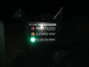
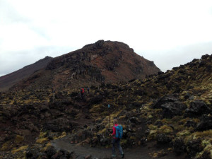
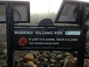
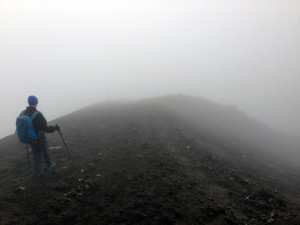
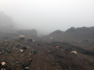
The next morning we got up and got on a shuttle at our lodge at 6 a.m. to get taken to the start of the Alpine Crossing. This track is reputed to be the best day hike in NZ and gets tons of traffic. It was still pitch black when we got there, so we sat at the start and ate our breakfast burritos till it got light enough to walk. This walk goes up between Tongariro and Ngauruhoe, before looping around the other side of Tongariro and back down the north side. At the start of the track was effectively a set of traffic lights. If the green light was on, walk on. If the red light was on, get out of there fast. There were two other sets of these, one at the top of the Red Crater and one as you head down to the DOC hut. Heaven help you if you’re all the way up there and you spot a red light! The hike itself was like walking through Mordor. My friends at the Rock Garden Society would have enjoyed all of the little buns at the early part of the walk but then it headed up, up, up what is called the Devil’s Staircase. We walked across two absolutely flat, plant-less craters. It felt like walking on the moon. We were supposed to be able to see down to Red Crater, but on top we were in the middle of a windy, cold cloud. It was in the 20’s up there with the wind chill. We walked across this narrow ridge of loose, dirt-like scoria, by some emerald green lakes, and then between the hut and the steaming crater. All very surreal and beautiful in a weird way. And a bit Crawling Eye-ish up top on the ridge. We were never alone – there was a constant stream of people on this track, some dressed for summer but at least we saw no flip-flops. It was about 19.5 km long – our longest hike to date and one of the most interesting. Too bad to miss the view of Red Crater and Blue Lake, but still really cool. We then got picked up by the lodge shuttle and headed back for a well deserved nap.
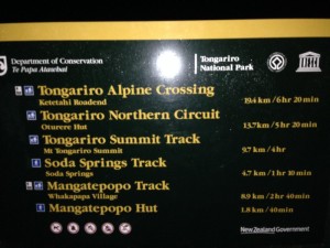
IMG_1216We got an early start about 6:30 am we began the hike.  I used my headlamp for about a 1/2 hour until it was light enough to see without it.

IMG_1217

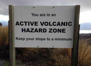
This electronic sign is just to the left of the trail sign shown above.  Please note that the light is green.  We may be crazy, but not stupid.  🙂

IMG_1224

We had just started the hike and working our way up towards the volcanoes.  If you look closely in the center, you will see the crescent moon.

IMG_1231

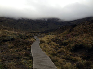
After a short distance in the dark and on a gravel trail the track became a boardwalk.  We are working our way up to the valley where the only way out is up.

IMG_1242

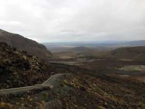
The hike up, out of the valley is known as the “Devils Staircase”.  This is on the staircase looking back down into the valley where we had just come.

IMG_1247

Barb getting close to the top of the staircase.

IMG_1253

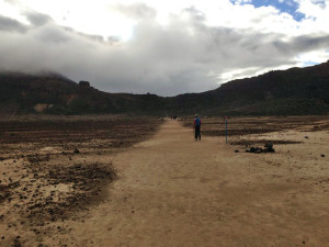
At the top of the “Devils Staircase” you come out onto an ancient caldera.  It is totally flat and must have been a half a kilometer across.  Very strange.

IMG_1256

Mount Ngauruhoe from the caldera.

IMG_1263

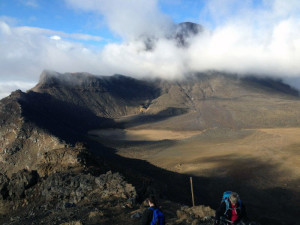
After crossing the caldera we climbed up to the highest point of the hike and had lunch.  Mount Ngauruhoe is in the cloud behind Barb and you can see the flat caldera below.

IMG_1269

We had had a snack up here at the highest point of the hike and there was another electronic sign.  Please note it is NOT red!  Whew.  If it were I’m not sure I would know which way to run.  🙂

IMG_1271

Looking past the sign to where we were heading.  This part of the hike is right along the craters rim.  To the right is Red Crater, to the left the side of the volcano’s cone.

IMG_1275

It was VERY cold and windy.  Occasionally we would get a bit of warm, stinky air blow by so we knew we were close to the action, we just couldn’t see it.

RedCrater

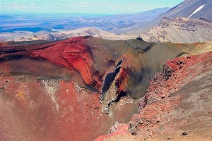
I swiped this picture from the internet.  This is what we should have seen, Red Crater.

IMG_1277

This is what we saw of Red Crater.  🙁  However I don’t know, the cloud gave everything such an eery, surreal feeling.  It was very cool in its own way.

IMG_1287

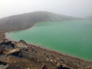
The larger of the two emerald lakes below Red Crater.

IMG_1290

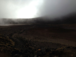
After descending the Red Crater cone we came out onto another ancient caldera .  Dead flat.

IMG_1332

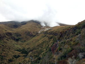
On the descent we had a large steam vent on our left.  This is looking back up at the vent.  You can see the track in the bottom of the picture.

IMG_1627

To our right was Mount Tongariro, which had erupted a couple of years ago.

tongariro2

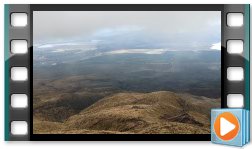
A panorama video of our descent.  You can see the DOC hut that was damaged when Mount Tongariro erupted.

TongariroTrack

I swiped this image from the internet too.  This is the track we took by Red Crater and the two emerald lakes.  At the very top of the picture is where we had stopped for our snack.

IMG_1329

This sign sort of says it all.  🙂  Without question this was the most memorable hike I’ve ever done.  It was like being on another planet.

15-Mar – Taupo

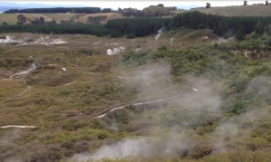
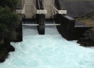
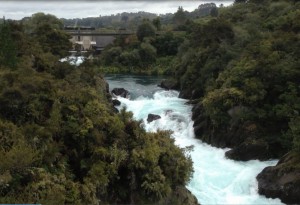
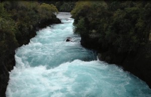
After Masterton, we had a long drive to Taupo, a tourist town on the northern end of Lake Taupo, NZ’s largest lake.  Taupo is in the midst of a large volcanic region, with three active volcanoes at the south end of the lake, and hot pools, springs, steam vents, etc. scattered around the northern end.  The night we arrived and next day were dominated with bad weather from Cyclone Pam, so lots of rain and clouds.  On our first afternoon, we visited Craters of the Moon, a small area of steam vents and dried mud pools.  Not very interesting but a nice walk.  The next day, we went to see the Aratiatia Rapids on the Waikato River.  There is a hydro dam there, and a few times a day, they release an enormous quantity of water back into the river, so we tourists flock to the overlook to watch this man-made spectacle.  The river gushed for about half and hour, then we headed upstream to the Huka Falls to see the water that flows out of Lake Taupo.  A lovely waterfall with lots of tourists.

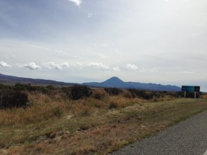
IMG_1108The drive into Taupo.  This is volcano country.  🙂

CraterMoon

Craters of the Moon.  It was interesting and a nice walk but certainly not spectacular.

damOutlet

The Aratiatia Rapids dam spilling it’s water.

dam2

The Aratiatia Rapids a bit below the dam.  It was really raging.

waterfall1

The Huka Falls is a narrow slit in the rock that ends in a 10 maybe 15 foot drop.  This water is coming from Lake Taupo and feeds the lake formed by the dam.

LakeTapuo

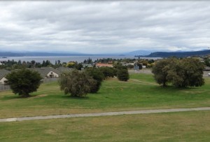
A hilltop view of the town of Taupo with the lake in the background.

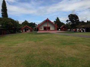
The next day we drove north about an hour to Rotorua, an active thermal area with geysers, hot springs and mud pools.  We went to Te Puia, which is both a thermal reserve and a Maori cultural attraction.  There was one impressive geyser and one good mud pool, but if you’ve seen Yellowstone, the thermal area here is, in my opinion, not worth the entry fee.  Very boring.  But we got to see a Maori concert and took a 1 1/2 tour with a Maori guide, and both of these were excellent and definitely worth the visit.  We had seen many Maori exhibits in the many museums we’ve visited, but we got a much better understanding of what we’d been looking at and how these things fit in to the Maori culture.  They also have both a carving and weaving school here that are designed to pass on the Maori skills to a few select individuals.  We then did a very quick walk around the Government Garden in town and then headed back to Taupo.

IMG_1142

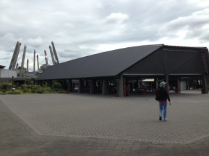
The Maori culture center we visited.  It was quite an operation.

IMG_1143

The meeting house were we saw the concert.

MaroiConcert2

The concert.  It was really quite well done and it really seemed the “performers” wanted to share their culture with all us tourists.

IMG_1167

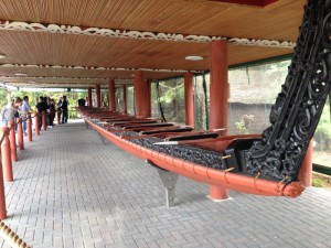
A Maori war canoe.

IMG_1165

The one mud pot.

geyser

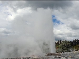
The one geyser.  As Barb said if you have never seen mud pots and/or geysers these were quite impressive.  However Yellowstone has us a bit jaded.

12-Mar – Wellington/Masterton

After a three hour ferry ride across the Cook Strait from the South Island to the North Island, we landed in Wellington, the country’s capital.  We stayed about 20 minutes outside of Wellington, at the home of a couple we had met in Picton.  They had a lovely home, up high on a hill, overlooking Cook Strait and you could see across to the South Island.  They were wonderful hosts and we enjoyed getting to know them better.

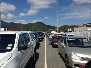
IMG_1008Queued for the ferry.

IMG_1018

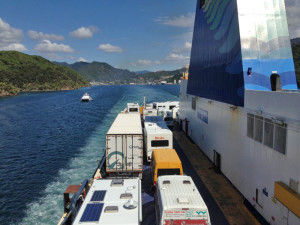
On our way to the North Island and Wellington.

IMG_1024

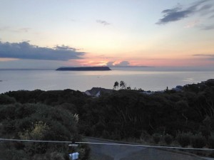
The view from our hosts back deck.  Cook Strait and the South Island.

IMG_1044

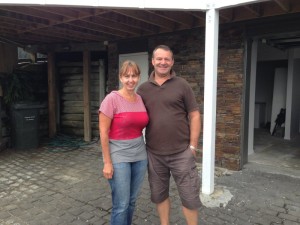
Sue and Greg Shotter, our hosts in Wellington.

The first day we ventured back into Wellington to get a tour of Weta Design, a design studio that creates costumes and props, mostly for the movie industry.  They produced most of the battle costumes for Lord of the Rings and the Hobbit, and most recently Chappies.  We had a one hour tour where they explained their design and production process, using digital designs and CNC’s to cut out molds, which are then used to produce the body armor, guns, etc.   It was very interesting and had similarities to the mannequin business.  We then went to see Te Papa, the NZ national museum.  The first floor had an excellent exhibit of the flora and fauna of the country.  However, after that – we were lost.  The exhibits didn’t seem to hold together or have a story that could be followed – I think the curators over thought the whole thing and were trying too hard.  We were both underwhelmed.  From there we went to meet our hosts at the Havana, a wonderful little restaurant made up of two attached cottages rammed between high rises.  We shared some wonderful tapas and had a great time.  Then we headed back to their house to catch the tail end of one of NZ’s world cup cricket matches.  NZ is currently undefeated heading into the quarterfinals.

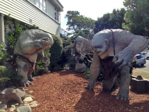
IMG_1028The trolls from the Lord of the Rings.

IMG_1033

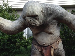
These things were about 10 or 11 feet tall and amazing detail.

IMG_1031

You want to buy a life size sculpture of Gollum?

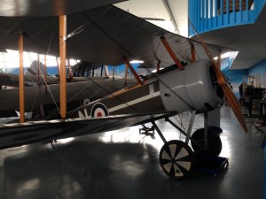
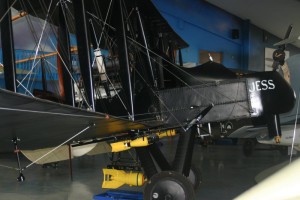
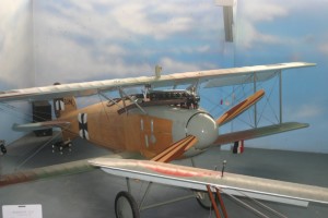
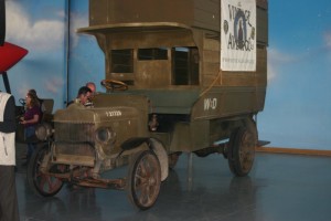
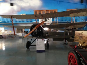
The next morning, we packed up again headed north to Masterton, to see the Vintage Aviator collection.  Lonely Planet described Masterton as “utilitarian” and I would have to agree.  Our motel was dreary and we struggled to even find a restaurant for dinner.  There was a hot air balloon festival in town, which overwhelmed the few restaurants around.  So we had a really bad meal at a “Mexican” restaurant (chicken fajitas that were marinated in soy sauce?).  But we were there to see the airplane exhibit, which was excellent.  Spencer had seen a Nova program about this group and wanted to come see it himself.  It is another Peter Jackson associated venture, apparently started by people that had been working on LOTR and took up the challenge to build accurate replicas of WW I planes, at Jackson’s behest.  They had a large collection of planes, a few original and many that had been meticulously manufactured from original plans.  For the most part, all of these planes are airworthy, or as airworthy as the originals, unlike the plane collection near Blenheim.  They now build replicas and sell them to others, including the group in Blenheim.  They even starting machining their own engines using the original designs, when they couldn’t find old ones to repair and use.  Spencer got to talk with one of the young pilots from the Nova show.  He had apparently started just hanging around the place as a teen and ended up getting his commercial pilots license.  The tour was fascinating and the planes were basically works of art.

IMG_1081I’m not going to name all of the planes as I don’t remember them all but they were just beautiful.

IMG_1541

IMG_1558

IMG_1566

An old WWI troop transport truck.  I took the video below, while standing on the top level of this truck.

IMG_1067

Sopwith triplane.  I have seen pictures of these but never a real one.  Apparently it inspired the more famous German version, the Fokker DR1

IMG_1057

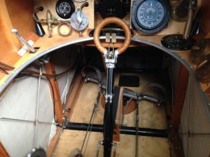
Pretty cool cockpit.

IMG_1045

Aeordrome

This video shows the whole hanger.

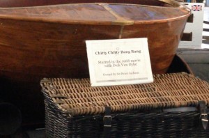
chitty2

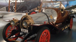
One thing that Barb did not mention is that in addition to all of the planes there was a VERY special car.  Remember the movie “Chitty Chitty Bang Bang”?  Well this is the car from the movie.

chitty1

5-Mar – Golden Bay/Hanmer Springs

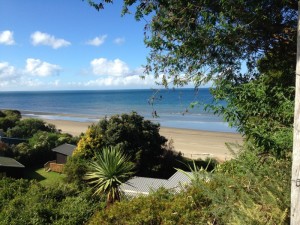
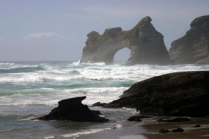
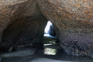
After enjoying some nice New Zealand wine, we headed back to the NW corner of the South Island, to Golden Bay.  We stayed at a nice holiday home overlooking the large, beautiful bay that ends at Farewell Spit, the long sand spit marking the NW corner of the island.  On our first morning there, we had a rip snorter of a storm, with pelting rain, wind and waves.  The owners of the holiday house lived about 1 1/2 east and had their greenhouse blown down by the wind.  We had not experienced a good storm yet in NZ, so this was a welcome change.  By early afternoon, the clouds had cleared and we headed up to Wharariki Beach on the west coast near the spit.  This was another walk-through-the-sheep-pasture to get to the south end of the beach.  The water was still roiling from the aftermath of the storm and for a time, we had the beach to ourselves.  There were a number of caves and walk-throughs to explore before we headed north up the beach.  At the north end of the beach was a large rock pool that was filled with about 10 seal pups, playing in the water and entertaining the crowd.  We could get quite close and they were really fun to watch.

IMG_0913

This was the view of Golden Bay from our holiday home.  I think the house was my favorites so far.

IMG_1458

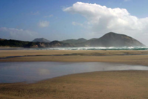
Wharariki Beach was amazing.  The sea was still rough from the storm and it was still very windy.

IMG_1483

One of several caves that had been carved by the sea.

IMG_1525

We had this huge beach virtually to ourselves and the seal pups.

IMG_1508

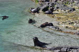
The seal pups playing in a shallow tidal pool.

WhararikiBeach

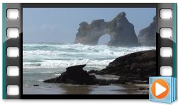
This video is of the beach and the seal pups playing in the tidal pool.

Day 2 started again with another good storm and this one lasted longer into the day.  But when it had partially cleared, we headed back up to Farewell Spit.  This walk started through another sheep pasture, then up the ocean side of the sand spit itself.  We then crossed over the spit and came back via the inland beach on Golden Bay.

IMG_1533

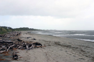
On the Golden Bay side of the peninsula looking north out Farewell Spit.  While you can not see it in the photo the spit extends off the picture to the right.  It is a VERY long curving spit.

IMG_1537

You can not hike very far out the spit as it is a bird sanctuary.  You can, however get a guided tour if you want to get further out the peninsula.

IMG_1538

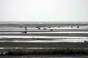
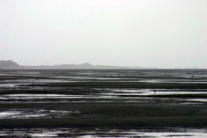
It is low tide and Golden Bay is quite shallow so at low tide you get these large expanses of mud/sand flats that the wading birds love.

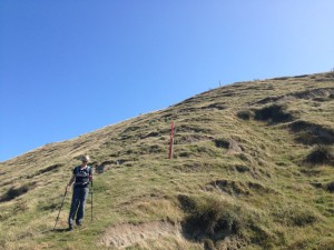
Day 3 was sunny and clear and we decided to do the Hilltop Track that started back at Wharariki Beach.  And they weren’t kidding.  This 3 1/2 hour track first went straight up to the top of the bluffs overlooking the Tasman Sea.  Then it went up hill and down dale, and up hill and down dale, again and again and again, all through sheep pasture with no proper track.  At the top of each steep knoll, there was a tall, orange two by four stuck in the ground.  We would climb up to the pole, look down the other side and up the next knoll to locate the next pole.  And so it went.  We kept expecting Julie Andrews to come singing around the corner at any moment.  The views out into the ocean were outstanding.  By the end of this one, I really had an appreciation of the climbing those sheep do in order to get a good bit of grass.  But it was a very fun hike, tramping through the fields, up and down.

IMG_0949

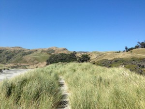
Wharariki Beach is to our left.  We never made it out to the beach this time we turned north along this little trail.  The hills in the background, on the left are where we are headed.

IMG_0952

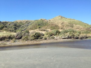
We had to ford a little stream to leave the beach area and start up the hills.  You can see the DOC sign across the stream.

IMG_0960

Viewing Wharariki Beach from the track.

IMG_0968

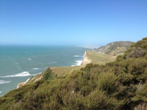
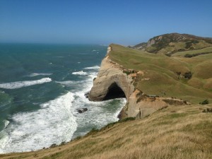
Just beautiful bluffs along the coast.  The round hill at the right has a little light house on the top which is our destination.  We hiked down to the car from there.

IMG_0976

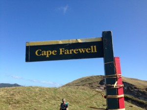
Cape Farewell is the most northerly point on the south island.

IMG_0978

What can I say.  Beautiful.

IMG_0974

Note the orange pole behind Barb and the one on the hilltop.  This is how we found our way.  The track was well marked with these orange poles.  As for an actual trail, you just had to make your way though the sheep and sheep sh*t.  🙂

IMG_0994

This picture was taken from the lighthouse and is looking out onto Farewell Spit.  You can see how it bends off to the right.  I think this was one of my favorite hikes.

Our cul-de-sac neighbors, the Wardells, happened to be on a month driving tour of the South Island and at the very last moment, we arranged to meet them in Hanmer Springs for the evening.  So after a 5 hour drive the next day over Lewis Pass, we arrived in Hanmer Springs, a small resort town built around a hot springs in the middle of town.  We went in to check out the springs before donning some suits and ran into the Wardells.  So we spent about three hours in the various hot pools, catching up and comparing notes on the various places we had visited in NZ.  That evening we had dinner together a  local pub before going our separate ways.

IMG_1007I’m afraid I do not have any pictures of our encounter with the Wardells.  We were in the hot pools and a camera did not seem like a good idea.  Rob did take one picture that I need to get my hands on.  This is main street Hanmer Springs.

We were both heading back to Christchurch, the Wardells to catch a flight to Melbourne, and we were returning to the Stacey’s for one night to claim our dive bag that they had very nicely allowed us to leave in their garage, as well as to regale them with our tales of the prior two months.  On our way back, we stopped at Amberly Beach to eat our lunch and found the Wardells seated on the beach front bench, finishing up their lunch.  So we munched on our tuna sandwiches and shared book recommendations.  Before invading the Staceys, we left our car at the garage where we purchased it, to check out a few squeaks here and there.  Then off to the Staceys.  We all went out for hamburgers and it was fun to see the whole family again.  After a good night’s sleep in their guest room, we picked up the car to drive back to Blenheim, before catching the ferry from Picton to Wellington on the North Island.

3-Mar – Blenheim

After Picton, we headed about a half hour south to Blenheim, the main wine region on the South Island.  Our first stop was the Omaka Aviation Heritage Centre, to look at old World War I planes.  This museum had many original and replica airplanes, some owned by Sir Peter Jackson, of LOTR fame.  He helped by not only displaying his planes, but also enlisting people to help develop how they were displayed.  It was a very interesting museum and we were both shocked to read that during WW I, the English decided not to give parachutes to its flyers, for fear that they would abandon the planes too quickly.  So no parachutes “encouraged” them to get the plane down safely!  There were some displays of some amazing derring-do by some of the pilots and a large area with Red Baron possessions.

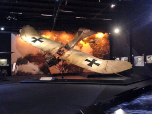
IMG_0899I only took one picture in the museum.  I thought this was just an amazing plane.  It really looks like a bird.

The next day we went to the Huia winery.  The Marlborough region is a flat, dry, brown valley surrounded by hills with one end butting against the sea.  It reminded me of the Napa region, with row upon row of grape vines, growing on dry, brown ground.  The region was in the midst of a drought, like the rest of the country, which exacerbated the dryness.  We were lucky enough to have arranged a tour of the vineyard by the owner/winemaker, and I was surprised to find that it was a private tour.  Spencer and I had taken our daughters to a Huia wine dinner at Carelli’s in Boulder about a year ago and met the wife/owner of the vineyard. So when we arrived, we found that husband Mike was going to spend an hour with us, walking us through the vineyard for Sauvignon Blanc and Pinot Noir grapes tasting, straight from the vines, and through the wine making facility.  He was an extremely nice guy and it was a really interesting tour.  We found out that Gary, our friendly wine salesman at Superior Liquor, had won the annual Huia sales contest and had been at the vineyard the week before.  After a tasting of a variety of the Huia wines, we went off to the Brancott winery for lunch.  Unlike Huia, which is a small, organic winery, Brancott is very, very large and has a large restaurant on a ridge overlooking one of their vineyards.  We had a lovely lunch of cheese and charcuterie, with a tasting of their pinot noirs.  We sat outside, eating bread and cheese and sipping wine – a very tough life indeed.  All of this hard work then necessitated a nap, to counteract all of the hard work we had done.

IMG_0901Huia Winery vineyard.  This was a very fun tour.

IMG_0900

Our tour is over and now we get to sample the wines.

IMG_0906

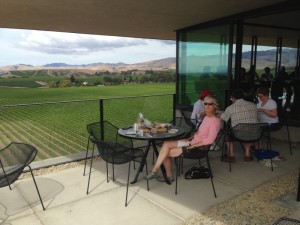
Lunch at Brancott winery.  Great lunch, great wine, great view, and great company.

28-Feb – Queen Charlotte Track

Our next stop was on the NE tip of the South Island, yes, you guessed it, up and over yet another set of twisty, turny, narrow roads, to Picton on the Queen Charlotte Sound. The NE corner of the island is a maze of sounds, bays, inlets, and islands and some huge proportion of the island’s total shoreline is located up in this area. Picton is a small tourist town, anchored by two ferry companies that operate the passenger/car/truck ferries that cross over to Wellington on the North Island. So you either fly from either island or take one of these ferry lines. I think about 8 huge ferries go into Picton each day. It’s yet another idyllic little town where you can sit at many cafes overlooking the harbor and watch cruise boats, water taxis and ferries go in and out. We were spending the night at a small, dreary motel and so decided to treat ourselves to a dinner out. While eating, we were seated at a table next to a couple of similar age who had just been walking the Queen Charlotte Track, which we were to start the next day. We spent much of dinner chatting with them and found out that they live in Wellington. We mentioned that we had not yet been to Wellington but were planning on visiting in about two weeks. Much to our surprise, they invited us to come stay with them while we are in Wellington, so we will be spending a couple of nights with them next week.

IMG_0845Our dreary little place in Picton.

IMG_0832

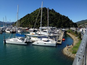
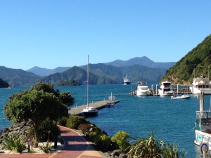
The Picton wharf.  This is a great little town.

IMG_0840

You can see one of the large Wellington ferries coming in.

The next morning, we got on a taxi/cruise boat that delivered people and things to various places along Queen Charlotte Sound, as well as providing a half day cruise for others. They dropped us, and about 8 others, off at Ship Cove, the start of the Queen Charlotte Track. This is a four day hike along the inlets of Queen Charlotte Sound, with virtually no roads to the many holiday houses/B & B’s, resorts and campgrounds along the way. These boats stop at the many wharves of these places, and move hikers’ luggage along the track each day, so that hikers need to carry only day packs. Our first day we hiked for about 4 hours before arriving at Cnoc Na Lear, a B & B with two rooms for guests, right on the track/inlet. We immediately donned swimsuits and plunged into the cold water, after a hot, dry walk earlier. A young lady from California arrived on a boat just as we arrived and she was yet another holiday work visa worker, coming to WOOF at the B & B for one week. The couple in the other room that night was a UK retired finance guy and an American doctor, who lived and worked in NZ during the prior 6 years. She did what she called locums, working as a fill-in doctor for 6 weeks at a time in various places throughout the country. The next morning we packed up our bag and left it for the boat and then headed back out on the trail. We hiked for another 4 hours around Endeavour Inlet to our next and final lodging at Mahana Lodge. This was a just beautiful place and we wished we would have stayed longer. The owners had a separate home and had built a lodge with three bedrooms, a kitchen, dining room and living room a bit up the hill from their house. There was a lovely large lawn with recliners and a fairly sandy beach, along with a hammock and a large vegetable garden. They had a patio covered with a grapevine-wrapped pergola, with picture perfect bunches of black and green grapes hanging above the dining table outside. They served us a wonderful dinner under the grapes, which were also on the table to sample. The salmon had come from the salmon farm in the next inlet and all of the rest of the dinner had come out of their garden. The only other people at dinner where the couple from the B & B the prior night and we enjoyed a long conversation with them over dinner and local wine (we were about 1/2 hour from the Marlborough wine region, from which lovely Sauvignon Blanc, Chardonnay and Pinot Noir come from). Then we all grabbed flashlights and walked up the hill about 50 feet to a stream running behind the lodge. There were glow worms living on the stream banks and we all enjoyed seeing them in this natural habitat.
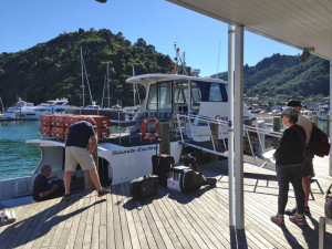
IMG_0851Our water taxi about to take us to Ship Cove, the start of the Queen Charlotte Track.

IMG_0857

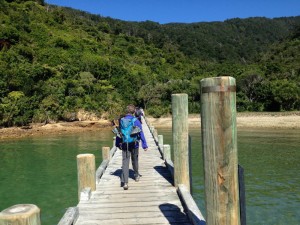
The drop off.

IMG_0864

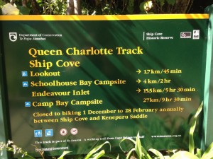
That’s our track at the bottom.  We basically went to Camp Bay Campsite.  Actually just a tad further.  The whole track goes on for another two days and many more kilometers.  But as Barb said we only did two days.

IMG_0865

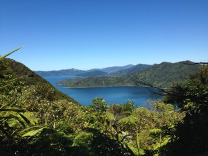
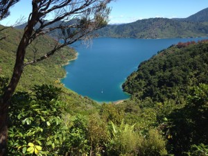
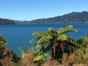
A couple of the many beautiful inlets along the track.

IMG_0871

IMG_0872

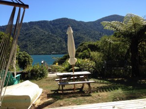
Our first night on the track.  This is the view from our front “deeck” at the Cnoc Na Lear, B & B.

IMG_0875

Off the next morning.

IMG_0877

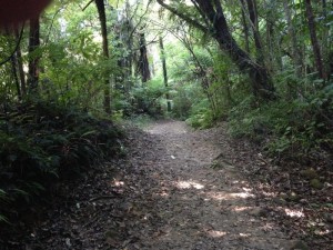
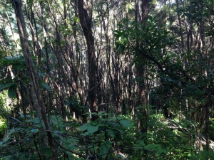
Mirkwood  🙂

IMG_0885

Yawn…. just another beautiful inlet.
IMG_0889

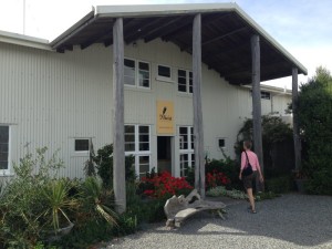
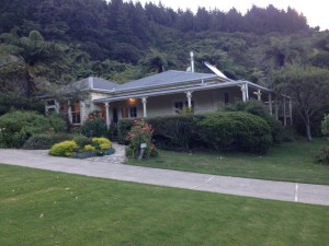
Mahana Lodge.  This is the home of the owners/hosts.

IMG_0887

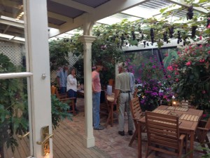
The “conservatory” where we had dinner.  Not too shabby.

IMG_0896

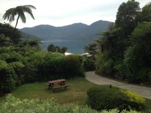
This is a view from our front porch.  The Mahana Lodge was amazing.  Barb asked if we could just stay there a second night but they were booked.  Bummer.

After making ourselves breakfast in the lodge from all of the homemade goodies, Spencer and I bid adieu to the other lodgers who were continuing up the track, and we went down to the wharf to be picked up by the boat and whisked back to Picton. Our last drop-off spot before Picton was an inlet used by NZ’s Outward Bound group and they often did their solos along the banks of that inlet.
Next stop – wine country!

26-Feb – Nelson

After braving the crowds in the glacier area, we headed up north along the west coast. We spent the night at a lovely little cottage in Hokitka and then headed into town the next morning to look at the jade stores in town. Hokitika specializes in jade carving and our host from the previous night had been carving jade for 40 years at the Jade Factory in town. So we stopped there and they had three artists carving jade right in the store and we were able to ask them questions about the process. The store had a good video on jade, the types of stone used and about the carving styles used in New Zealand and China, where much of the product is made. Apparently, much of the stone comes from British Columbia (or Wyoming), is shipped to China to be carved, and then sent to NZ to be sold as NZ souvenirs. Apparently, prior to the ’60’s, the greenstone used for jade carving in NZ was being hauled out in record quantities, especially with the use of helicopters. But in the 60’s, a government agreement gave control of the greenstone back to the Maori and now it is much harder to come by. The store we stopped in was quite good about labeling the origin of its products. I bought myself a lovely pair of earrings carved by our host, a NZ souvenir that I’m confident was actually made in NZ from NZ greenstone! We then headed north along the coast, stopping at Pancake Rocks and the Blow Hole, serendipitously arriving at 5 minutes before high tide. In order to see the blow holes at their best, you need to see the waves crashing through the holes at high tide. The place was swamped with tourists but it was definitely worth a stop to see the many layered cliffs and hear the whoompf as the water came crashing through the holes in the cliffs. We then did the long drive up to Nelson on the north end of the South Island.
IMG_0752

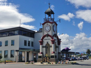
The clock tower in downtown Hokitika.

PancakeRocks

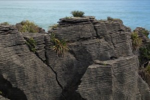
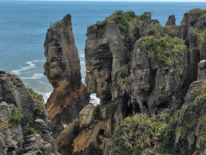
Pancake rocks.

BlowHoles

Video of the pancake rocks and blow holes.  As Barb said it was a big tourist stop but was quit cool and worth the stop.

IMG_0759

More pancake rocks.

splash

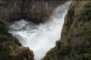
A blow hole in action.

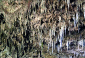
The northern end of the island is shaped a bit like a fat V, with Nelson at the base of the V. On the east branch is Picton, where the ferries arrive from Wellington on the North Island. This is also home to the Queen Charlotte Sound and Queen Charlotte Track. On the west side lies three national parks, including the famous Abel Tasman, Golden Bay and Farewell Spit, a large sand spit on the NW end of the island. We stayed for a number of days in Nelson, at a large and modern home that was very well lived in. Apparently, this 4 bedroom home is the primary residence of the owner and his wife but when there are renters available, they move out and live in a camper trailer, in order to make some money. So it felt a bit invasive, living amongst all of their belongings, food, etc. But it had all of the modern conveniences that we rarely see in our accommodations, so we didn’t argue. From Nelson one day, we did a very long drive northwest up a long, twisty, hilly road to hike up to Rawhiti Caves. It was another one of those out of the way places where we had to drive through numerous farm gates (one electrified), to park in a cow field. We hiked along a stream bed and then up a short but very steep hill to get to the mouth of the cave. This cave had many, many large stalactites hanging from the roof but what was most interesting was that they curved out toward the sunlight. Apparently, bacteria/algae grow on the side facing the sun, and these get covered with minerals and the process repeats, until the stalactites are bending toward the opening.

cave3

The mouth of the cave.  The cave drops down and to the right.

cave2

cave1

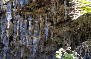
Not a great picture as it was very bright to the left and very dark to the right but you can see how the stalactites bend towards the light.

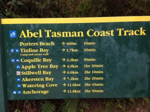
Another day, we drove northwest up the coast to Marahau. From there, we took a water taxi up to a leg of the Abel Tasman Coastal Walk, one of the Great Walks.
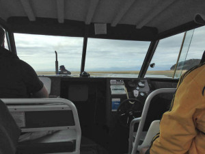
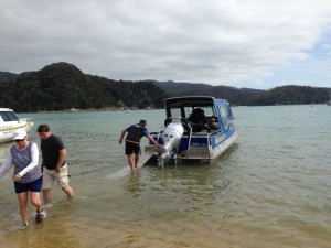
But I must digress. This was one of the more odd boating experiences we’ve had. It was low tide when we arrived and there was a long beach to cross before you got to the bay. There was no dock or wharf in sight and I was confused as to how we got on the water taxi. Well, behind the registration building, a large farm tractor pulled into the parking lot, with the water taxi on a trailer behind it. The captain got off the tractor, got out a ramp and all 15 customers clambered aboard the boat, on the trailer, behind the tractor. And off we went, down the road. The tractor pulled onto the beach, where there were about 6 other tractors parked, and down to the water we went where there was a strong onshore breeze. He turned around and started backing the trailer/boat into the water, like you would on a boat ramp. Only this time, we were going backwards into really big swells crashing onto the beach. Everyone in the back half of the boat got drenched, as the waves crashed over the stern and into the taxi. Oh well – we dried. We were dropped off at Anchorage Bay and did a loop hike and then hiked back into the small town where we had picked up the taxi in the morning. The route went along the coast and there were a number of bays/beaches you could divert to for a quick dip and we regretted leaving our swim suits behind. This was a very busy, popular walk, with many backpackers and day walkers. But the views out to the Tasman Bay were beautiful.

IMG_0797

We are all on the boat (water taxi) that is still on it’s trailer.  You can see our captain on the tractor pulling us down to the water.

IMG_0799

Being dropped at Anchorage Bay.

IMG_0826

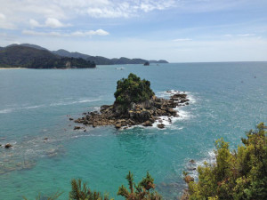
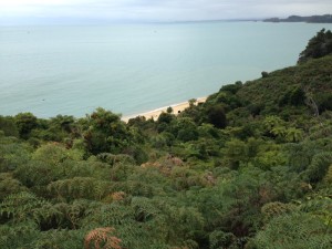
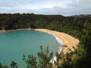
That’s us at the bottom, the Anchorage track.  The pictures below are from the hike.  Just beautiful.  As Barb said it was a hot day and we really regretted not having brought our swim suits.

IMG_0807

IMG_0823

IMG_0806

CalifQuail

One thing Barb forgot to mention was that as we were close to the end of the hike we came across a family of California Quail.  They were totally unafraid of us.  I counted 11 chicks.  This is a very cute video.